Unterlamm geodata
Unterlamm (Styria) is a seat of a third-order administrative division; located in Austria in Europe/Vienna (GMT+2) time zone. With population of 647 people, there are 1993 cities with bigger population in this country. Compared to other cities in Austria, 85.2% of cities are located further ↑North; 82% of cities are located further ←West and 73.3% of cities have higher elevation than Unterlamm. Note1
Administrative division(s):
- Level 1: Styria
- Level 2: Politischer Bezirk Südoststeiermark
- Level 3: Unterlamm


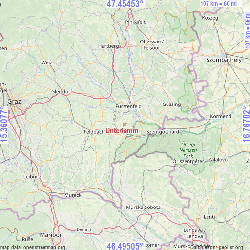
Unterlamm GPS coordinates[2]
46° 58' 36.984" North, 16° 3' 50.004" East
| Map corner | latitude | longitude |
|---|---|---|
| Upper-left | 47.45453°, | 15.36077° |
| Center: | 46.97694°, | 16.06389° |
| Lower-right: | 46.49505°, | 16.76702° |
| Map W x H: | 106.7×106.7 km | = 66.3×66.3mi |
| max Lat: | 48.98333° ⇑85.2% North |
| Unterlamm: | 46.97694° |
| min Lat: | ⇓14.8% South 46.48841° |
| min Long | Unterlamm | max Long |
| 9.57802° | 16.06389° | 17.1° |
| W 82%⇐ | ⇒18% E |
Elevation
Elevation of Unterlamm is 312 m = 1024 ft, and this is 193.5 m = 635 ft below average elevation for this country.
| Max E: |
2140 m = 7021 ft | 73.3% |
| Avg. | 505.5 m = 1658 ft | |
| Unterlamm | 312 m = 1024 ft | |
Min E: |
118 m = 387 ft | 26.7% |
See also: Austria elevation on elevation.city.
Geographical zone
Unterlamm is located in North temperate zone (between Tropic of Cancer and the Arctic Circle). Distance of this North polar circle is 2177.8 km =1353.2 mi to North.| Distance of | km | miles | from Unterlamm |
|---|---|---|---|
| North Pole | 4783.7 | 2972.5 | to North |
| Arctic Circle | 2177.8 | 1353.2 | to North |
| Tropic Cancer | 2617.4 | 1626.4 | to South |
| Equator | 5223.3 | 3245.6 | to South |


Nearby cities:
15 places around Unterlamm: (largest is in red/bold)
• Brunn
4.7 km =2.9 mi,  230°
230°
• Dietersdorf bei Fürstenfeld
5.7 km =3.5 mi,  27°
27°
• Fehring
5.9 km =3.7 mi, 225°
• Fürstenfeld
8.3 km =5.2 mi,  10°
10°
• Grieselstein
5.1 km =3.2 mi,  122°
122°
• Hatzendorf
4.8 km =3 mi,  269°
269°
• Hohenbrugg an der Raab
3.2 km =2 mi,  170°
170°
• Jennersdorf
7.3 km =4.5 mi,  125°
125°
• Königsdorf
8.2 km =5.1 mi,  71°
71°
• Loipersdorf bei Fürstenfeld
3.8 km =2.4 mi,  46°
46°
• Pertlstein
8.7 km =5.4 mi,  242°
242°
• Sankt Martin an der Raab
8.2 km =5.1 mi,  137°
137°
• Stein
2.9 km =1.8 mi,  37°
37°
• Söchau
7.2 km =4.5 mi,  330°
330°
• Übersbach
5.2 km =3.2 mi,  352°
352°
Sources, notices
• [Note1] Compared only with cities in Austria existing in our database
• [Src1] Map data: © OpenStreetMap contributors (CC-BY-SA)
• [Src2] Other city data from geonames.org with taken over terms of usage.
• [Src3] Geographical zone / Annual Mean Temperature by Robert A. Rohde @ Wikipedia
