Stadl-Hausruck geodata
Stadl-Hausruck (Upper Austria) is a populated place; located in Austria in Europe/Vienna (GMT+2) time zone. With population of 1,284 people, there are 981 cities with bigger population in this country. Compared to other cities in Austria, 71.6% of cities are located further ↓South; 67.9% of cities are located further →East and 64.9% of cities have higher elevation than Stadl-Hausruck. Note1


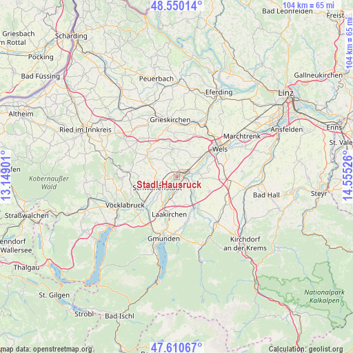
Stadl-Hausruck GPS coordinates[2]
48° 4' 57.18" North, 13° 51' 7.668" East
| Map corner | latitude | longitude |
|---|---|---|
| Upper-left | 48.55014°, | 13.14901° |
| Center: | 48.08255°, | 13.85213° |
| Lower-right: | 47.61067°, | 14.55526° |
| Map W x H: | 104.5×104.5 km | = 64.9×64.9mi |
| max Lat: | 48.98333° ⇑28.4% North |
| Stadl-Hausruck: | 48.08255° |
| min Lat: | ⇓71.6% South 46.48841° |
| min Long | Stadl-Hausruck | max Long |
| 9.57802° | 13.85213° | 17.1° |
| W 32.1%⇐ | ⇒67.9% E |
Elevation
Elevation of Stadl-Hausruck is 354 m = 1161 ft, and this is 151.5 m = 497 ft below average elevation for this country.
| Max E: |
2140 m = 7021 ft | 64.9% |
| Avg. | 505.5 m = 1658 ft | |
| Stadl-Hausruck | 354 m = 1161 ft | |
Min E: |
118 m = 387 ft | 35.1% |
See also: Austria elevation on elevation.city.
Geographical zone
Stadl-Hausruck is located in North temperate zone (between Tropic of Cancer and the Arctic Circle). Distance of this North polar circle is 2054.9 km =1276.9 mi to North.| Distance of | km | miles | from Stadl-Hausruck |
|---|---|---|---|
| North Pole | 4660.8 | 2896.1 | to North |
| Arctic Circle | 2054.9 | 1276.9 | to North |
| Tropic Cancer | 2740.4 | 1702.8 | to South |
| Equator | 5346.3 | 3322 | to South |


Nearby cities:
15 places around Stadl-Hausruck: (largest is in red/bold)
• Aichkirchen
5.4 km =3.4 mi,  303°
303°
• Edt bei Lambach
4.4 km =2.7 mi,  31°
31°
• Graben
4.1 km =2.5 mi,  61°
61°
• Kaufing
4.9 km =3 mi,  232°
232°
• Kropfing
3.9 km =2.4 mi,  75°
75°
• Lambach
2 km =1.2 mi, 55°
• Neukirchen bei Lambach
3.3 km =2.1 mi,  306°
306°
• Niederthalheim
6.5 km =4 mi,  286°
286°
• Pennewang
5.6 km =3.5 mi,  358°
358°
• Rüstorf
6.4 km =4 mi, 226°
• Schlatt
4.8 km =3 mi,  255°
255°
• Schwanenstadt
6.5 km =4 mi,  242°
242°
• Stadl-Paura
1.1 km =0.7 mi,  85°
85°
• Stadl-Traun
0.8 km =0.5 mi,  115°
115°
• Wimsbach
4 km =2.5 mi, 116°
Sources, notices
• [Note1] Compared only with cities in Austria existing in our database
• [Src1] Map data: © OpenStreetMap contributors (CC-BY-SA)
• [Src2] Other city data from geonames.org with taken over terms of usage.
• [Src3] Geographical zone / Annual Mean Temperature by Robert A. Rohde @ Wikipedia
