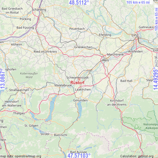
Rüstorf geodata
Rüstorf (Upper Austria) is a seat of a third-order administrative division; located in Austria in Europe/Vienna (GMT+2) time zone. With population of 498 people, there are 2513 cities with bigger population in this country. Compared to other cities in Austria, 69% of cities are located further ↓South; 69.3% of cities are located further →East and 60.9% of cities have higher elevation than Rüstorf. Note1
Administrative division(s):
- Level 1: Upper Austria
- Level 2: Politischer Bezirk Vöcklabruck
- Level 3: Rüstorf


Rüstorf GPS coordinates[2]
48° 2' 35.736" North, 13° 47' 23.352" East
| Map corner | latitude | longitude |
|---|---|---|
| Upper-left | 48.5112°, | 13.0867° |
| Center: | 48.04326°, | 13.78982° |
| Lower-right: | 47.57103°, | 14.49295° |
| Map W x H: | 104.5×104.5 km | = 64.9×64.9mi |
| max Lat: | 48.98333° ⇑31% North |
| Rüstorf: | 48.04326° |
| min Lat: | ⇓69% South 46.48841° |
| min Long | Rüstorf | max Long |
| 9.57802° | 13.78982° | 17.1° |
| W 30.7%⇐ | ⇒69.3% E |
Elevation
Elevation of Rüstorf is 378 m = 1240 ft, and this is 127.5 m = 418 ft below average elevation for this country.
| Max E: |
2140 m = 7021 ft | 60.9% |
| Avg. | 505.5 m = 1658 ft | |
| Rüstorf | 378 m = 1240 ft | |
Min E: |
118 m = 387 ft | 39.1% |
See also: Austria elevation on elevation.city.
Geographical zone
Rüstorf is located in North temperate zone (between Tropic of Cancer and the Arctic Circle). Distance of this North polar circle is 2059.3 km =1279.6 mi to North.| Distance of | km | miles | from Rüstorf |
|---|---|---|---|
| North Pole | 4665.2 | 2898.8 | to North |
| Arctic Circle | 2059.3 | 1279.6 | to North |
| Tropic Cancer | 2736 | 1700.1 | to South |
| Equator | 5341.9 | 3319.3 | to South |


Nearby cities:
15 places around Rüstorf: (largest is in red/bold)
• Attnang
6.2 km =3.9 mi,  241°
241°
• Desselbrunn
2.8 km =1.7 mi,  210°
210°
• Kaufing
1.5 km =0.9 mi,  28°
28°
• Neukirchen bei Lambach
6.6 km =4.1 mi,  17°
17°
• Niederstraß
5.5 km =3.4 mi,  233°
233°
• Niederthalheim
6.4 km =4 mi,  345°
345°
• Oberndorf bei Schwanenstadt
2.8 km =1.7 mi,  299°
299°
• Pitzenberg
5.9 km =3.7 mi, 304°
• Pühret
5.1 km =3.2 mi,  259°
259°
• Redlham
3.8 km =2.4 mi, 236°
• Roitham
3.2 km =2 mi,  131°
131°
• Rutzenham
5.6 km =3.5 mi,  290°
290°
• Schlatt
3.2 km =2 mi,  358°
358°
• Schwanenstadt
1.7 km =1.1 mi,  320°
320°
• Stadl-Hausruck
6.4 km =4 mi,  46°
46°
Sources, notices
• [Note1] Compared only with cities in Austria existing in our database
• [Src1] Map data: © OpenStreetMap contributors (CC-BY-SA)
• [Src2] Other city data from geonames.org with taken over terms of usage.
• [Src3] Geographical zone / Annual Mean Temperature by Robert A. Rohde @ Wikipedia
