Seewalchen geodata
Seewalchen (Upper Austria) is a seat of a third-order administrative division; located in Austria in Europe/Vienna (GMT+2) time zone. With population of 2,780 people, there are 418 cities with bigger population in this country. Compared to other cities in Austria, 63.7% of cities are located further ↓South; 73.8% of cities are located further →East and 56.4% of cities have lower elevation than Seewalchen. Note1
Administrative division(s):
- Level 1: Upper Austria
- Level 2: Politischer Bezirk Vöcklabruck
- Level 3: Seewalchen am Attersee


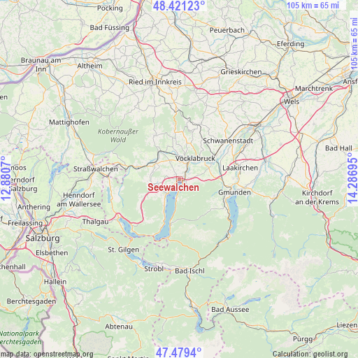
Seewalchen GPS coordinates[2]
47° 57' 8.856" North, 13° 35' 1.752" East
| Map corner | latitude | longitude |
|---|---|---|
| Upper-left | 48.42123°, | 12.8807° |
| Center: | 47.95246°, | 13.58382° |
| Lower-right: | 47.4794°, | 14.28695° |
| Map W x H: | 104.7×104.7 km | = 65.1×65.1mi |
| max Lat: | 48.98333° ⇑36.3% North |
| Seewalchen: | 47.95246° |
| min Lat: | ⇓63.7% South 46.48841° |
| min Long | Seewalchen | max Long |
| 9.57802° | 13.58382° | 17.1° |
| W 26.2%⇐ | ⇒73.8% E |
Elevation
Elevation of Seewalchen is 493 m = 1617 ft, and this is 12.5 m = 41 ft below average elevation for this country.
| Max E: |
2140 m = 7021 ft | 43.6% |
| Avg. | 505.5 m = 1658 ft | |
| Seewalchen | 493 m = 1617 ft | |
Min E: |
118 m = 387 ft | 56.4% |
See also: Austria elevation on elevation.city.
Geographical zone
Seewalchen is located in North temperate zone (between Tropic of Cancer and the Arctic Circle). Distance of this North polar circle is 2069.4 km =1285.9 mi to North.| Distance of | km | miles | from Seewalchen |
|---|---|---|---|
| North Pole | 4675.2 | 2905 | to North |
| Arctic Circle | 2069.4 | 1285.9 | to North |
| Tropic Cancer | 2725.9 | 1693.8 | to South |
| Equator | 5331.8 | 3313 | to South |


Nearby cities:
15 places around Seewalchen: (largest is in red/bold)
• Alt Lenzing
3.6 km =2.2 mi,  59°
59°
• Attersee
5.2 km =3.2 mi,  219°
219°
• Aurach am Hongar
6.6 km =4.1 mi,  90°
90°
• Dürnau
6.7 km =4.2 mi,  42°
42°
• Gampern
4.6 km =2.9 mi,  331°
331°
• Lenzing
3 km =1.9 mi, 38°
• Lixlau
7.5 km =4.7 mi,  50°
50°
• Oberhehenfeld
4 km =2.5 mi,  130°
130°
• Pichlwang
5 km =3.1 mi,  28°
28°
• Sankt Georgen im Attergau
7.7 km =4.8 mi,  256°
256°
• Schörfling
1.7 km =1.1 mi,  117°
117°
• Steindorf
1.5 km =0.9 mi,  319°
319°
• Timelkam
6 km =3.7 mi,  17°
17°
• Vöcklabruck
7.8 km =4.8 mi, 44°
• Weyregg
5.6 km =3.5 mi,  189°
189°
Sources, notices
• [Note1] Compared only with cities in Austria existing in our database
• [Src1] Map data: © OpenStreetMap contributors (CC-BY-SA)
• [Src2] Other city data from geonames.org with taken over terms of usage.
• [Src3] Geographical zone / Annual Mean Temperature by Robert A. Rohde @ Wikipedia
