Schwemmberg geodata
Schwemmberg (Salzburg) is a populated place; located in Austria in Europe/Vienna (GMT+2) time zone. With population of 847 people, there are 1524 cities with bigger population in this country. Compared to other cities in Austria, 59.9% of cities are located further ↑North; 75.3% of cities are located further →East and 97.4% of cities have lower elevation than Schwemmberg. Note1
Administrative division(s):
- Level 1: Salzburg
- Level 2: Politischer Bezirk Sankt Johann im Pongau
- Level 3: Radstadt


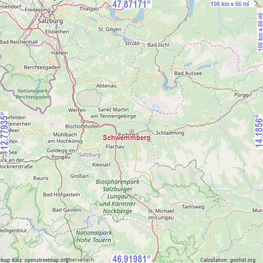
Schwemmberg GPS coordinates[2]
47° 23' 52.476" North, 13° 28' 56.892" East
| Map corner | latitude | longitude |
|---|---|---|
| Upper-left | 47.87171°, | 12.77935° |
| Center: | 47.39791°, | 13.48247° |
| Lower-right: | 46.91981°, | 14.1856° |
| Map W x H: | 105.8×105.8 km | = 65.7×65.7mi |
| max Lat: | 48.98333° ⇑59.9% North |
| Schwemmberg: | 47.39791° |
| min Lat: | ⇓40.1% South 46.48841° |
| min Long | Schwemmberg | max Long |
| 9.57802° | 13.48247° | 17.1° |
| W 24.7%⇐ | ⇒75.3% E |
Elevation
Elevation of Schwemmberg is 1153 m = 3783 ft, and this is 647.5 m = 2124 ft above average elevation for this country.
| Max E: |
2140 m = 7021 ft | 2.6% |
| Schwemmberg | 1153 m 3783 ft | |
| Avg. | 505.5 m = 1658 ft | |
Min E: |
118 m = 387 ft | 97.4% |
See also: Austria elevation on elevation.city.
Geographical zone
Schwemmberg is located in North temperate zone (between Tropic of Cancer and the Arctic Circle). Distance of this North polar circle is 2131 km =1324.1 mi to North.| Distance of | km | miles | from Schwemmberg |
|---|---|---|---|
| North Pole | 4736.9 | 2943.4 | to North |
| Arctic Circle | 2131 | 1324.1 | to North |
| Tropic Cancer | 2664.2 | 1655.5 | to South |
| Equator | 5270.2 | 3274.7 | to South |


Nearby cities:
15 places around Schwemmberg: (largest is in red/bold)
• Altenmarkt im Pongau
5.2 km =3.2 mi,  251°
251°
• Am Feuersang
7.1 km =4.4 mi,  240°
240°
• Eben im Pongau
6.2 km =3.9 mi,  272°
272°
• Filzmoos
4.7 km =2.9 mi,  33°
33°
• Flachau
9.1 km =5.7 mi,  228°
228°
• Forstau
5.9 km =3.7 mi,  111°
111°
• Höch
8.2 km =5.1 mi, 245°
• Löbenau
1.6 km =1 mi,  177°
177°
• Neubach
12.1 km =7.5 mi,  331°
331°
• Neuberg
5.8 km =3.6 mi,  0°
0°
• Pichl
9 km =5.6 mi,  100°
100°
• Radstadt
2.9 km =1.8 mi, 236°
• Reitdorf
8.2 km =5.1 mi, 245°
• St. Martin of Tennengebirge
10.9 km =6.8 mi,  313°
313°
• Untertauern
11 km =6.8 mi,  173°
173°
Sources, notices
• [Note1] Compared only with cities in Austria existing in our database
• [Src1] Map data: © OpenStreetMap contributors (CC-BY-SA)
• [Src2] Other city data from geonames.org with taken over terms of usage.
• [Src3] Geographical zone / Annual Mean Temperature by Robert A. Rohde @ Wikipedia
