Manning geodata
Manning (Upper Austria) is a seat of a third-order administrative division; located in Austria in Europe/Vienna (GMT+2) time zone. With population of 122 people, there are 2914 cities with bigger population in this country. Compared to other cities in Austria, 72.1% of cities are located further ↓South; 71.9% of cities are located further →East and 58.7% of cities have lower elevation than Manning. Note1
Administrative division(s):
- Level 1: Upper Austria
- Level 2: Politischer Bezirk Vöcklabruck
- Level 3: Manning


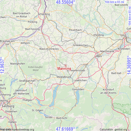
Manning GPS coordinates[2]
48° 5' 18.636" North, 13° 40' 0.552" East
| Map corner | latitude | longitude |
|---|---|---|
| Upper-left | 48.55604°, | 12.9637° |
| Center: | 48.08851°, | 13.66682° |
| Lower-right: | 47.61669°, | 14.36995° |
| Map W x H: | 104.4×104.4 km | = 64.9×64.9mi |
| max Lat: | 48.98333° ⇑27.9% North |
| Manning: | 48.08851° |
| min Lat: | ⇓72.1% South 46.48841° |
| min Long | Manning | max Long |
| 9.57802° | 13.66682° | 17.1° |
| W 28.1%⇐ | ⇒71.9% E |
Elevation
Elevation of Manning is 509 m = 1670 ft, and this is 3.5 m = 11 ft above average elevation for this country.
| Max E: |
2140 m = 7021 ft | 41.3% |
| Manning | 509 m 1670 ft | |
| Avg. | 505.5 m = 1658 ft | |
Min E: |
118 m = 387 ft | 58.7% |
See also: Austria elevation on elevation.city.
Geographical zone
Manning is located in North temperate zone (between Tropic of Cancer and the Arctic Circle). Distance of this North polar circle is 2054.2 km =1276.4 mi to North.| Distance of | km | miles | from Manning |
|---|---|---|---|
| North Pole | 4660.1 | 2895.7 | to North |
| Arctic Circle | 2054.2 | 1276.4 | to North |
| Tropic Cancer | 2741 | 1703.2 | to South |
| Equator | 5346.9 | 3322.4 | to South |


Nearby cities:
15 places around Manning: (largest is in red/bold)
• Altenhof am Hausruck
5.1 km =3.2 mi,  13°
13°
• Ampflwang
7.5 km =4.7 mi,  265°
265°
• Atzbach
2.8 km =1.7 mi,  101°
101°
• Gaspoltshofen
8 km =5 mi,  40°
40°
• Geboltskirchen
7.6 km =4.7 mi,  341°
341°
• Niederthalheim
7.7 km =4.8 mi,  81°
81°
• Oberndorf bei Schwanenstadt
7.6 km =4.7 mi,  118°
118°
• Ottnang am Hausruck
1 km =0.6 mi,  321°
321°
• Pitzenberg
4.6 km =2.9 mi,  111°
111°
• Pühret
7.3 km =4.5 mi,  145°
145°
• Rutzenham
4.9 km =3 mi,  128°
128°
• Siedlung
7.8 km =4.8 mi, 265°
• Ungenach
6 km =3.7 mi,  220°
220°
• Wolfsegg am Hausruck
2.1 km =1.3 mi, 12°
• Zell am Pettenfirst
5.1 km =3.2 mi,  259°
259°
Sources, notices
• [Note1] Compared only with cities in Austria existing in our database
• [Src1] Map data: © OpenStreetMap contributors (CC-BY-SA)
• [Src2] Other city data from geonames.org with taken over terms of usage.
• [Src3] Geographical zone / Annual Mean Temperature by Robert A. Rohde @ Wikipedia
