Leiben geodata
Leiben (Lower Austria) is a seat of a third-order administrative division; located in Austria in Europe/Vienna (GMT+2) time zone. With population of 749 people, there are 1728 cities with bigger population in this country. Compared to other cities in Austria, 82.5% of cities are located further ↓South; 59.4% of cities are located further ←West and 70.2% of cities have higher elevation than Leiben. Note1


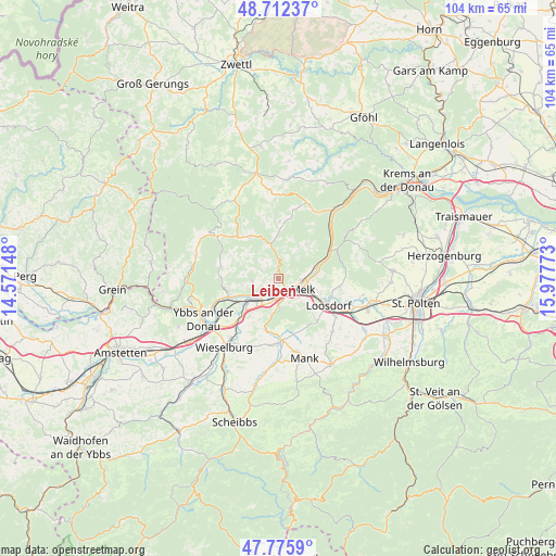
Leiben GPS coordinates[2]
48° 14' 46.608" North, 15° 16' 28.56" East
| Map corner | latitude | longitude |
|---|---|---|
| Upper-left | 48.71237°, | 14.57148° |
| Center: | 48.24628°, | 15.2746° |
| Lower-right: | 47.7759°, | 15.97773° |
| Map W x H: | 104.1×104.1 km | = 64.7×64.7mi |
| max Lat: | 48.98333° ⇑17.5% North |
| Leiben: | 48.24628° |
| min Lat: | ⇓82.5% South 46.48841° |
| min Long | Leiben | max Long |
| 9.57802° | 15.2746° | 17.1° |
| W 59.4%⇐ | ⇒40.6% E |
Elevation
Elevation of Leiben is 327 m = 1073 ft, and this is 178.5 m = 586 ft below average elevation for this country.
| Max E: |
2140 m = 7021 ft | 70.2% |
| Avg. | 505.5 m = 1658 ft | |
| Leiben | 327 m = 1073 ft | |
Min E: |
118 m = 387 ft | 29.8% |
See also: Austria elevation on elevation.city.
Geographical zone
Leiben is located in North temperate zone (between Tropic of Cancer and the Arctic Circle). Distance of this North polar circle is 2036.7 km =1265.5 mi to North.| Distance of | km | miles | from Leiben |
|---|---|---|---|
| North Pole | 4642.6 | 2884.8 | to North |
| Arctic Circle | 2036.7 | 1265.5 | to North |
| Tropic Cancer | 2758.6 | 1714.1 | to South |
| Equator | 5364.5 | 3333.3 | to South |


Nearby cities:
15 places around Leiben: (largest is in red/bold)
• Emmersdorf an der Donau
4.7 km =2.9 mi,  96°
96°
• Erlauf
9.7 km =6 mi,  224°
224°
• Golling
8.5 km =5.3 mi,  232°
232°
• Klein-Pöchlarn
5.4 km =3.4 mi, 232°
• Krummnußbaum an der Donauuferbahn
8.7 km =5.4 mi,  247°
247°
• Krumnussbaum
9.3 km =5.8 mi,  243°
243°
• Marbach an der Donau
9.8 km =6.1 mi, 250°
• Maria Laach am Jauerling
8.3 km =5.2 mi,  38°
38°
• Maria Taferl
8.8 km =5.5 mi,  255°
255°
• Matzleinsdorf
5.2 km =3.2 mi,  186°
186°
• Melk
4.7 km =2.9 mi,  116°
116°
• Neuda
8.3 km =5.2 mi, 235°
• Pöchlarn
7.6 km =4.7 mi, 227°
• Pöggstall
9.5 km =5.9 mi,  326°
326°
• Weiten
5.6 km =3.5 mi,  348°
348°
Sources, notices
• [Note1] Compared only with cities in Austria existing in our database
• [Src1] Map data: © OpenStreetMap contributors (CC-BY-SA)
• [Src2] Other city data from geonames.org with taken over terms of usage.
• [Src3] Geographical zone / Annual Mean Temperature by Robert A. Rohde @ Wikipedia
