Neuda geodata
Neuda (Lower Austria) is a populated place; located in Austria in Europe/Vienna (GMT+2) time zone. With population of 712 people, there are 1828 cities with bigger population in this country. Compared to other cities in Austria, 79.5% of cities are located further ↓South; 57.3% of cities are located further ←West and 89.8% of cities have higher elevation than Neuda. Note1
Administrative division(s):
- Level 1: Lower Austria
- Level 2: Politischer Bezirk Melk
- Level 3: Golling an der Erlauf


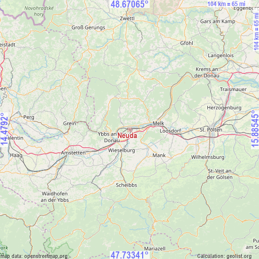
Neuda GPS coordinates[2]
48° 12' 15.012" North, 15° 10' 56.352" East
| Map corner | latitude | longitude |
|---|---|---|
| Upper-left | 48.67065°, | 14.4792° |
| Center: | 48.20417°, | 15.18232° |
| Lower-right: | 47.73341°, | 15.88545° |
| Map W x H: | 104.2×104.2 km | = 64.7×64.7mi |
| max Lat: | 48.98333° ⇑20.5% North |
| Neuda: | 48.20417° |
| min Lat: | ⇓79.5% South 46.48841° |
| min Long | Neuda | max Long |
| 9.57802° | 15.18232° | 17.1° |
| W 57.3%⇐ | ⇒42.7% E |
Elevation
Elevation of Neuda is 214 m = 702 ft, and this is 291.5 m = 956 ft below average elevation for this country.
| Max E: |
2140 m = 7021 ft | 89.8% |
| Avg. | 505.5 m = 1658 ft | |
| Neuda | 214 m = 702 ft | |
Min E: |
118 m = 387 ft | 10.2% |
See also: Austria elevation on elevation.city.
Geographical zone
Neuda is located in North temperate zone (between Tropic of Cancer and the Arctic Circle). Distance of this North polar circle is 2041.4 km =1268.5 mi to North.| Distance of | km | miles | from Neuda |
|---|---|---|---|
| North Pole | 4647.3 | 2887.7 | to North |
| Arctic Circle | 2041.4 | 1268.5 | to North |
| Tropic Cancer | 2753.9 | 1711.2 | to South |
| Equator | 5359.8 | 3330.4 | to South |


Nearby cities:
15 places around Neuda: (largest is in red/bold)
• Bergland
5.4 km =3.4 mi,  177°
177°
• Erlauf
2.3 km =1.4 mi, 178°
• Golling
0.5 km =0.3 mi,  170°
170°
• Gottsdorf
5.7 km =3.5 mi,  253°
253°
• Hofamt Priel
7.8 km =4.8 mi,  263°
263°
• Klein-Pöchlarn
2.9 km =1.8 mi,  61°
61°
• Krummnußbaum an der Donauuferbahn
1.8 km =1.1 mi,  317°
317°
• Krumnussbaum
1.6 km =1 mi,  288°
288°
• Leiben
8.3 km =5.2 mi, 55°
• Marbach an der Donau
2.8 km =1.7 mi,  300°
300°
• Maria Taferl
3.1 km =1.9 mi,  326°
326°
• Matzleinsdorf
6.3 km =3.9 mi,  94°
94°
• Persenbeug
7.2 km =4.5 mi, 254°
• Petzenkirchen
6.7 km =4.2 mi,  197°
197°
• Pöchlarn
1.4 km =0.9 mi,  109°
109°
Sources, notices
• [Note1] Compared only with cities in Austria existing in our database
• [Src1] Map data: © OpenStreetMap contributors (CC-BY-SA)
• [Src2] Other city data from geonames.org with taken over terms of usage.
• [Src3] Geographical zone / Annual Mean Temperature by Robert A. Rohde @ Wikipedia
