Kirchham geodata
Kirchham (Upper Austria) is a populated place; located in Austria in Europe/Vienna (GMT+2) time zone. With population of 715 people, there are 1821 cities with bigger population in this country. Compared to other cities in Austria, 64.5% of cities are located further ↓South; 66.9% of cities are located further →East and 52.7% of cities have lower elevation than Kirchham. Note1
Administrative division(s):
- Level 1: Upper Austria
- Level 2: Politischer Bezirk Gmunden
- Level 3: Kirchham


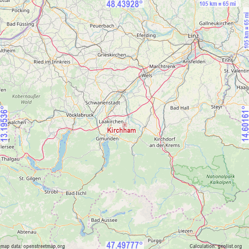
Kirchham GPS coordinates[2]
47° 58' 14.412" North, 13° 53' 54.528" East
| Map corner | latitude | longitude |
|---|---|---|
| Upper-left | 48.43928°, | 13.19536° |
| Center: | 47.97067°, | 13.89848° |
| Lower-right: | 47.49777°, | 14.60161° |
| Map W x H: | 104.7×104.7 km | = 65.1×65.1mi |
| max Lat: | 48.98333° ⇑35.5% North |
| Kirchham: | 47.97067° |
| min Lat: | ⇓64.5% South 46.48841° |
| min Long | Kirchham | max Long |
| 9.57802° | 13.89848° | 17.1° |
| W 33.1%⇐ | ⇒66.9% E |
Elevation
Elevation of Kirchham is 470 m = 1542 ft, and this is 35.5 m = 116 ft below average elevation for this country.
| Max E: |
2140 m = 7021 ft | 47.3% |
| Avg. | 505.5 m = 1658 ft | |
| Kirchham | 470 m = 1542 ft | |
Min E: |
118 m = 387 ft | 52.7% |
See also: Austria elevation on elevation.city.
Geographical zone
Kirchham is located in North temperate zone (between Tropic of Cancer and the Arctic Circle). Distance of this North polar circle is 2067.3 km =1284.6 mi to North.| Distance of | km | miles | from Kirchham |
|---|---|---|---|
| North Pole | 4673.2 | 2903.8 | to North |
| Arctic Circle | 2067.3 | 1284.6 | to North |
| Tropic Cancer | 2727.9 | 1695 | to South |
| Equator | 5333.8 | 3314.3 | to South |


Nearby cities:
15 places around Kirchham: (largest is in red/bold)
• Dorf
8.4 km =5.2 mi,  155°
155°
• Dürndorf
9 km =5.6 mi,  100°
100°
• Gmunden
9.4 km =5.8 mi,  231°
231°
• Gschwandt
5.6 km =3.5 mi,  224°
224°
• Kleinreith
8.4 km =5.2 mi,  246°
246°
• Laakirchen
5.9 km =3.7 mi,  282°
282°
• Mitterndorf
7.7 km =4.8 mi, 103°
• Mühldorf
9.1 km =5.7 mi,  154°
154°
• Ohlsdorf
8 km =5 mi,  262°
262°
• Pettenbach
8.9 km =5.5 mi, 97°
• Roitham
8.3 km =5.2 mi,  316°
316°
• Sankt Konrad
6.5 km =4 mi,  186°
186°
• Scharnstein
8.7 km =5.4 mi, 147°
• Viechtwang
7.8 km =4.8 mi,  141°
141°
• Vorchdorf
4.1 km =2.5 mi,  24°
24°
Sources, notices
• [Note1] Compared only with cities in Austria existing in our database
• [Src1] Map data: © OpenStreetMap contributors (CC-BY-SA)
• [Src2] Other city data from geonames.org with taken over terms of usage.
• [Src3] Geographical zone / Annual Mean Temperature by Robert A. Rohde @ Wikipedia
