Häselgehr geodata
Häselgehr (Tyrol) is a seat of a third-order administrative division; located in Austria in Europe/Vienna (GMT+2) time zone. With population of 537 people, there are 2371 cities with bigger population in this country. Compared to other cities in Austria, 64.5% of cities are located further ↑North; 96% of cities are located further →East and 94.9% of cities have lower elevation than Häselgehr. Note1


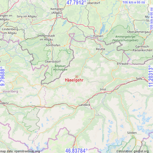
Häselgehr GPS coordinates[2]
47° 19' 0.012" North, 10° 30' 0" East
| Map corner | latitude | longitude |
|---|---|---|
| Upper-left | 47.7912°, | 9.79688° |
| Center: | 47.31667°, | 10.5° |
| Lower-right: | 46.83784°, | 11.20313° |
| Map W x H: | 106×106 km | = 65.9×65.9mi |
| max Lat: | 48.98333° ⇑64.5% North |
| Häselgehr: | 47.31667° |
| min Lat: | ⇓35.5% South 46.48841° |
| min Long | Häselgehr | max Long |
| 9.57802° | 10.5° | 17.1° |
| W 4%⇐ | ⇒96% E |
Elevation
Elevation of Häselgehr is 1016 m = 3333 ft, and this is 510.5 m = 1675 ft above average elevation for this country.
| Max E: |
2140 m = 7021 ft | 5.1% |
| Häselgehr | 1016 m 3333 ft | |
| Avg. | 505.5 m = 1658 ft | |
Min E: |
118 m = 387 ft | 94.9% |
See also: Austria elevation on elevation.city.
Geographical zone
Häselgehr is located in North temperate zone (between Tropic of Cancer and the Arctic Circle). Distance of this North polar circle is 2140.1 km =1329.8 mi to North.| Distance of | km | miles | from Häselgehr |
|---|---|---|---|
| North Pole | 4745.9 | 2949 | to North |
| Arctic Circle | 2140.1 | 1329.8 | to North |
| Tropic Cancer | 2655.2 | 1649.9 | to South |
| Equator | 5261.1 | 3269.1 | to South |


Nearby cities:
15 places around Häselgehr: (largest is in red/bold)
• Elbigenalp
5.6 km =3.5 mi,  238°
238°
• Elmen
4.2 km =2.6 mi,  50°
50°
• Forchach
12.8 km =8 mi,  29°
29°
• Gramais
6.1 km =3.8 mi,  155°
155°
• Holzgau
13.3 km =8.3 mi, 241°
• Imsterberg
19.3 km =12 mi,  129°
129°
• Mils bei Imst
18 km =11.2 mi, 132°
• Namlos
13.1 km =8.1 mi,  73°
73°
• Schönwies
17.9 km =11.1 mi,  138°
138°
• Stanz bei Landeck
19.2 km =11.9 mi,  167°
167°
• Stanzach
9 km =5.6 mi, 34°
• Steeg
17.5 km =10.9 mi, 242°
• Vorderhornbach
6.6 km =4.1 mi, 26°
• Weissenbach am Lech
17.5 km =10.9 mi,  37°
37°
• Zams
18.9 km =11.7 mi, 158°
Sources, notices
• [Note1] Compared only with cities in Austria existing in our database
• [Src1] Map data: © OpenStreetMap contributors (CC-BY-SA)
• [Src2] Other city data from geonames.org with taken over terms of usage.
• [Src3] Geographical zone / Annual Mean Temperature by Robert A. Rohde @ Wikipedia
