Forchach geodata
Forchach (Tyrol) is a seat of a third-order administrative division; located in Austria in Europe/Vienna (GMT+2) time zone. With population of 259 people, there are 2794 cities with bigger population in this country. Compared to other cities in Austria, 58.7% of cities are located further ↑North; 95.6% of cities are located further →East and 91.6% of cities have lower elevation than Forchach. Note1


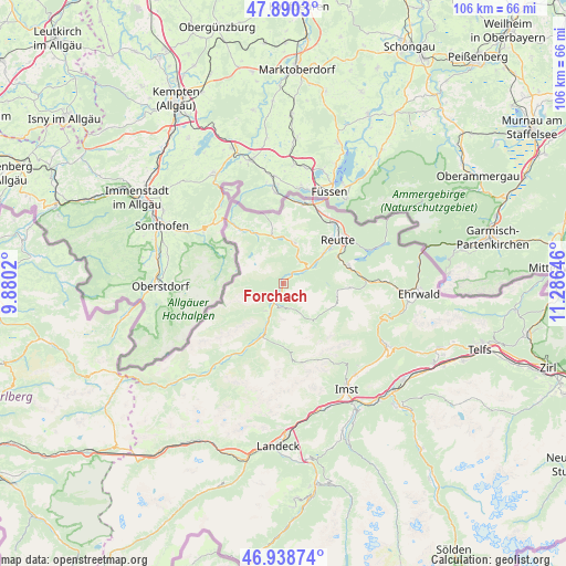
Forchach GPS coordinates[2]
47° 25' 0.012" North, 10° 34' 59.988" East
| Map corner | latitude | longitude |
|---|---|---|
| Upper-left | 47.8903°, | 9.8802° |
| Center: | 47.41667°, | 10.58333° |
| Lower-right: | 46.93874°, | 11.28646° |
| Map W x H: | 105.8×105.8 km | = 65.7×65.7mi |
| max Lat: | 48.98333° ⇑58.7% North |
| Forchach: | 47.41667° |
| min Lat: | ⇓41.3% South 46.48841° |
| min Long | Forchach | max Long |
| 9.57802° | 10.58333° | 17.1° |
| W 4.4%⇐ | ⇒95.6% E |
Elevation
Elevation of Forchach is 912 m = 2992 ft, and this is 406.5 m = 1334 ft above average elevation for this country.
| Max E: |
2140 m = 7021 ft | 8.4% |
| Forchach | 912 m 2992 ft | |
| Avg. | 505.5 m = 1658 ft | |
Min E: |
118 m = 387 ft | 91.6% |
See also: Austria elevation on elevation.city.
Geographical zone
Forchach is located in North temperate zone (between Tropic of Cancer and the Arctic Circle). Distance of this North polar circle is 2128.9 km =1322.8 mi to North.| Distance of | km | miles | from Forchach |
|---|---|---|---|
| North Pole | 4734.8 | 2942.1 | to North |
| Arctic Circle | 2128.9 | 1322.8 | to North |
| Tropic Cancer | 2666.3 | 1656.8 | to South |
| Equator | 5272.2 | 3276 | to South |


Nearby cities:
15 places around Forchach: (largest is in red/bold)
• Berwang
12.4 km =7.7 mi,  94°
94°
• Ehenbichl
10.4 km =6.5 mi,  57°
57°
• Elmen
9 km =5.6 mi,  199°
199°
• Grän
9.6 km =6 mi,  344°
344°
• Häselgehr
12.8 km =8 mi,  209°
209°
• Höfen
9.4 km =5.8 mi,  53°
53°
• Lechaschau
12.2 km =7.6 mi, 49°
• Namlos
9.7 km =6 mi,  139°
139°
• Nesselwängle
7.8 km =4.8 mi,  18°
18°
• Reutte
12.5 km =7.8 mi, 53°
• Stanzach
3.9 km =2.4 mi, 198°
• Tannheim
10.5 km =6.5 mi,  331°
331°
• Vorderhornbach
6.1 km =3.8 mi, 212°
• Weissenbach am Lech
5.1 km =3.2 mi, 57°
• Wängle
11.2 km =7 mi, 45°
Sources, notices
• [Note1] Compared only with cities in Austria existing in our database
• [Src1] Map data: © OpenStreetMap contributors (CC-BY-SA)
• [Src2] Other city data from geonames.org with taken over terms of usage.
• [Src3] Geographical zone / Annual Mean Temperature by Robert A. Rohde @ Wikipedia
