Elmen geodata
Elmen (Tyrol) is a seat of a third-order administrative division; located in Austria in Europe/Vienna (GMT+2) time zone. With population of 323 people, there are 2714 cities with bigger population in this country. Compared to other cities in Austria, 63.1% of cities are located further ↑North; 95.8% of cities are located further →East and 94% of cities have lower elevation than Elmen. Note1


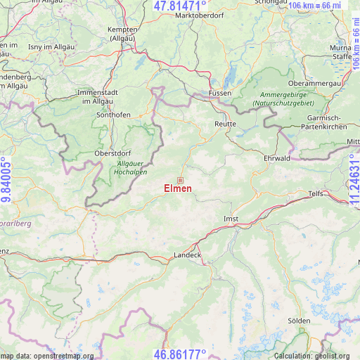
Elmen GPS coordinates[2]
47° 20' 25.404" North, 10° 32' 35.448" East
| Map corner | latitude | longitude |
|---|---|---|
| Upper-left | 47.81471°, | 9.84005° |
| Center: | 47.34039°, | 10.54318° |
| Lower-right: | 46.86177°, | 11.24631° |
| Map W x H: | 106×106 km | = 65.9×65.9mi |
| max Lat: | 48.98333° ⇑63.1% North |
| Elmen: | 47.34039° |
| min Lat: | ⇓36.9% South 46.48841° |
| min Long | Elmen | max Long |
| 9.57802° | 10.54318° | 17.1° |
| W 4.2%⇐ | ⇒95.8% E |
Elevation
Elevation of Elmen is 985 m = 3232 ft, and this is 479.5 m = 1573 ft above average elevation for this country.
| Max E: |
2140 m = 7021 ft | 6% |
| Elmen | 985 m 3232 ft | |
| Avg. | 505.5 m = 1658 ft | |
Min E: |
118 m = 387 ft | 94% |
See also: Austria elevation on elevation.city.
Geographical zone
Elmen is located in North temperate zone (between Tropic of Cancer and the Arctic Circle). Distance of this North polar circle is 2137.4 km =1328.1 mi to North.| Distance of | km | miles | from Elmen |
|---|---|---|---|
| North Pole | 4743.3 | 2947.3 | to North |
| Arctic Circle | 2137.4 | 1328.1 | to North |
| Tropic Cancer | 2657.8 | 1651.5 | to South |
| Equator | 5263.8 | 3270.8 | to South |


Nearby cities:
15 places around Elmen: (largest is in red/bold)
• Berwang
17.1 km =10.6 mi,  63°
63°
• Elbigenalp
9.8 km =6.1 mi,  235°
235°
• Forchach
9 km =5.6 mi,  19°
19°
• Gramais
8.2 km =5.1 mi,  185°
185°
• Grän
17.8 km =11.1 mi,  1°
1°
• Holzgau
17.4 km =10.8 mi, 239°
• Häselgehr
4.2 km =2.6 mi,  230°
230°
• Höfen
17.6 km =10.9 mi,  36°
36°
• Mils bei Imst
17.9 km =11.1 mi,  146°
146°
• Namlos
9.4 km =5.8 mi,  83°
83°
• Nesselwängle
16.8 km =10.4 mi, 19°
• Stanzach
5.1 km =3.2 mi, 20°
• Tannheim
17.8 km =11.1 mi,  353°
353°
• Vorderhornbach
3.3 km =2.1 mi,  355°
355°
• Weissenbach am Lech
13.4 km =8.3 mi,  33°
33°
Sources, notices
• [Note1] Compared only with cities in Austria existing in our database
• [Src1] Map data: © OpenStreetMap contributors (CC-BY-SA)
• [Src2] Other city data from geonames.org with taken over terms of usage.
• [Src3] Geographical zone / Annual Mean Temperature by Robert A. Rohde @ Wikipedia
