Gainfarn geodata
Gainfarn (Lower Austria) is a populated place; located in Austria in Europe/Vienna (GMT+2) time zone. With population of 3,926 people, there are 266 cities with bigger population in this country. Compared to other cities in Austria, 64.2% of cities are located further ↓South; 85.9% of cities are located further ←West and 78.7% of cities have higher elevation than Gainfarn. Note1
Administrative division(s):
- Level 1: Lower Austria
- Level 2: Politischer Bezirk Baden
- Level 3: Bad Vöslau


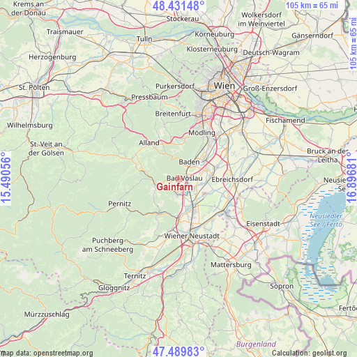
Gainfarn GPS coordinates[2]
47° 57' 46.08" North, 16° 11' 37.248" East
| Map corner | latitude | longitude |
|---|---|---|
| Upper-left | 48.43148°, | 15.49056° |
| Center: | 47.9628°, | 16.19368° |
| Lower-right: | 47.48983°, | 16.89681° |
| Map W x H: | 104.7×104.7 km | = 65.1×65.1mi |
| max Lat: | 48.98333° ⇑35.8% North |
| Gainfarn: | 47.9628° |
| min Lat: | ⇓64.2% South 46.48841° |
| min Long | Gainfarn | max Long |
| 9.57802° | 16.19368° | 17.1° |
| W 85.9%⇐ | ⇒14.1% E |
Elevation
Elevation of Gainfarn is 280 m = 919 ft, and this is 225.5 m = 740 ft below average elevation for this country.
| Max E: |
2140 m = 7021 ft | 78.7% |
| Avg. | 505.5 m = 1658 ft | |
| Gainfarn | 280 m = 919 ft | |
Min E: |
118 m = 387 ft | 21.3% |
See also: Austria elevation on elevation.city.
Geographical zone
Gainfarn is located in North temperate zone (between Tropic of Cancer and the Arctic Circle). Distance of this North polar circle is 2068.2 km =1285.1 mi to North.| Distance of | km | miles | from Gainfarn |
|---|---|---|---|
| North Pole | 4674.1 | 2904.4 | to North |
| Arctic Circle | 2068.2 | 1285.1 | to North |
| Tropic Cancer | 2727 | 1694.5 | to South |
| Equator | 5333 | 3313.8 | to South |


Nearby cities:
15 places around Gainfarn: (largest is in red/bold)
• Bad Vöslau
1.5 km =0.9 mi,  79°
79°
• Baden
5.6 km =3.5 mi,  31°
31°
• Berndorf
6.5 km =4 mi,  253°
253°
• Großau
2.1 km =1.3 mi, 247°
• Günselsdorf
5.4 km =3.4 mi,  112°
112°
• Hirtenberg
3.7 km =2.3 mi,  197°
197°
• Kottingbrunn
2.8 km =1.7 mi,  117°
117°
• Leobersdorf
4.2 km =2.6 mi,  156°
156°
• Oeynhausen
7.7 km =4.8 mi,  71°
71°
• Pottenstein
7.4 km =4.6 mi,  266°
266°
• Schönau an der Triesting
5.5 km =3.4 mi,  125°
125°
• Siebenhaus
4.1 km =2.5 mi,  140°
140°
• Sooss
3 km =1.9 mi,  35°
35°
• Teesdorf
6.8 km =4.2 mi,  102°
102°
• Tribuswinkel
7.5 km =4.7 mi,  49°
49°
Sources, notices
• [Note1] Compared only with cities in Austria existing in our database
• [Src1] Map data: © OpenStreetMap contributors (CC-BY-SA)
• [Src2] Other city data from geonames.org with taken over terms of usage.
• [Src3] Geographical zone / Annual Mean Temperature by Robert A. Rohde @ Wikipedia
