Damüls geodata
Damüls (Vorarlberg) is a seat of a third-order administrative division; located in Austria in Europe/Vienna (GMT+2) time zone. With population of 313 people, there are 2724 cities with bigger population in this country. Compared to other cities in Austria, 67.4% of cities are located further ↑North; 97.7% of cities are located further →East and 99.3% of cities have lower elevation than Damüls. Note1


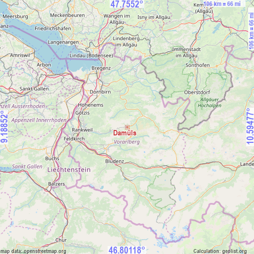
Damüls GPS coordinates[2]
47° 16' 49.224" North, 9° 53' 29.904" East
| Map corner | latitude | longitude |
|---|---|---|
| Upper-left | 47.7552°, | 9.18852° |
| Center: | 47.28034°, | 9.89164° |
| Lower-right: | 46.80118°, | 10.59477° |
| Map W x H: | 106.1×106.1 km | = 65.9×65.9mi |
| max Lat: | 48.98333° ⇑67.4% North |
| Damüls: | 47.28034° |
| min Lat: | ⇓32.6% South 46.48841° |
| min Long | Damüls | max Long |
| 9.57802° | 9.89164° | 17.1° |
| W 2.3%⇐ | ⇒97.7% E |
Elevation
Elevation of Damüls is 1402 m = 4600 ft, and this is 896.5 m = 2941 ft above average elevation for this country.
| Max E: |
2140 m = 7021 ft | 0.7% |
| Damüls | 1402 m 4600 ft | |
| Avg. | 505.5 m = 1658 ft | |
Min E: |
118 m = 387 ft | 99.3% |
See also: Austria elevation on elevation.city.
Geographical zone
Damüls is located in North temperate zone (between Tropic of Cancer and the Arctic Circle). Distance of this North polar circle is 2144.1 km =1332.3 mi to North.| Distance of | km | miles | from Damüls |
|---|---|---|---|
| North Pole | 4750 | 2951.5 | to North |
| Arctic Circle | 2144.1 | 1332.3 | to North |
| Tropic Cancer | 2651.2 | 1647.4 | to South |
| Equator | 5257.1 | 3266.6 | to South |


Nearby cities:
15 places around Damüls: (largest is in red/bold)
• Au
8.1 km =5 mi,  55°
55°
• Bezau
11.6 km =7.2 mi,  3°
3°
• Bizau
10.2 km =6.3 mi,  15°
15°
• Blons
7.7 km =4.8 mi,  214°
214°
• Ludesch
12.1 km =7.5 mi,  222°
222°
• Mellau
7.8 km =4.8 mi,  354°
354°
• Raggal
8.8 km =5.5 mi, 208°
• Rehmen
9.2 km =5.7 mi, 59°
• Reuthe
10.1 km =6.3 mi, 1°
• Schnepfau
8.9 km =5.5 mi,  26°
26°
• Schnifis
13.9 km =8.6 mi,  239°
239°
• Schoppernau
10.1 km =6.3 mi,  69°
69°
• Sonntag
4.7 km =2.9 mi,  174°
174°
• Thüringen
13 km =8.1 mi,  226°
226°
• Thüringerberg
10.9 km =6.8 mi, 227°
Sources, notices
• [Note1] Compared only with cities in Austria existing in our database
• [Src1] Map data: © OpenStreetMap contributors (CC-BY-SA)
• [Src2] Other city data from geonames.org with taken over terms of usage.
• [Src3] Geographical zone / Annual Mean Temperature by Robert A. Rohde @ Wikipedia
