Neufellach geodata
Neufellach (Carinthia) is a section of populated place; located in Austria in Europe/Vienna (GMT+2) time zone. With population of 786 people, there are 1641 cities with bigger population in this country. Compared to other cities in Austria, 97.7% of cities are located further ↑North; 68.8% of cities are located further →East and 64.8% of cities have lower elevation than Neufellach. Note1


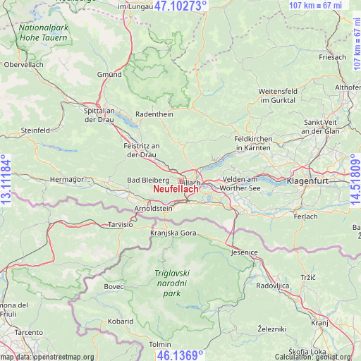
Neufellach GPS coordinates[2]
46° 37' 19.092" North, 13° 48' 53.856" East
| Map corner | latitude | longitude |
|---|---|---|
| Upper-left | 47.10273°, | 13.11184° |
| Center: | 46.62197°, | 13.81496° |
| Lower-right: | 46.1369°, | 14.51809° |
| Map W x H: | 107.4×107.4 km | = 66.7×66.7mi |
| max Lat: | 48.98333° ⇑97.7% North |
| Neufellach: | 46.62197° |
| min Lat: | ⇓2.3% South 46.48841° |
| min Long | Neufellach | max Long |
| 9.57802° | 13.81496° | 17.1° |
| W 31.2%⇐ | ⇒68.8% E |
Elevation
Elevation of Neufellach is 551 m = 1808 ft, and this is 45.5 m = 149 ft above average elevation for this country.
| Max E: |
2140 m = 7021 ft | 35.2% |
| Neufellach | 551 m 1808 ft | |
| Avg. | 505.5 m = 1658 ft | |
Min E: |
118 m = 387 ft | 64.8% |
See also: Austria elevation on elevation.city.
Geographical zone
Neufellach is located in North temperate zone (between Tropic of Cancer and the Arctic Circle). Distance of this North polar circle is 2217.3 km =1377.8 mi to North.| Distance of | km | miles | from Neufellach |
|---|---|---|---|
| North Pole | 4823.2 | 2997 | to North |
| Arctic Circle | 2217.3 | 1377.8 | to North |
| Tropic Cancer | 2578 | 1601.9 | to South |
| Equator | 5183.9 | 3221.1 | to South |


Nearby cities:
15 places around Neufellach: (largest is in red/bold)
• Auen
3.3 km =2.1 mi,  138°
138°
• Goritschach
1.2 km =0.7 mi,  201°
201°
• Großvassach
2.7 km =1.7 mi,  77°
77°
• Kleinvassach
3.1 km =1.9 mi,  71°
71°
• Lind
2.5 km =1.6 mi,  88°
88°
• Obere Fellach
0.9 km =0.6 mi,  329°
329°
• Sankt Georgen
1.7 km =1.1 mi,  317°
317°
• Sankt Leonhard
3.4 km =2.1 mi, 83°
• Sankt Martin
1.2 km =0.7 mi,  116°
116°
• St. Agathen und Perau
3.6 km =2.2 mi, 119°
• Untere Fellach
1 km =0.6 mi, 69°
• Villach
3.4 km =2.1 mi,  112°
112°
• Villach-Innere Stadt
2.6 km =1.6 mi, 113°
• Völkendorf
2 km =1.2 mi, 140°
• Warmbad-Judendorf
2.4 km =1.5 mi,  166°
166°
Sources, notices
• [Note1] Compared only with cities in Austria existing in our database
• [Src1] Map data: © OpenStreetMap contributors (CC-BY-SA)
• [Src2] Other city data from geonames.org with taken over terms of usage.
• [Src3] Geographical zone / Annual Mean Temperature by Robert A. Rohde @ Wikipedia
