Bergland geodata
Bergland (Lower Austria) is a seat of a third-order administrative division; located in Austria in Europe/Vienna (GMT+2) time zone. With population of 1,909 people, there are 647 cities with bigger population in this country. Compared to other cities in Austria, 76.1% of cities are located further ↓South; 57.4% of cities are located further ←West and 83.3% of cities have higher elevation than Bergland. Note1
Administrative division(s):
- Level 1: Lower Austria
- Level 2: Politischer Bezirk Melk
- Level 3: Bergland


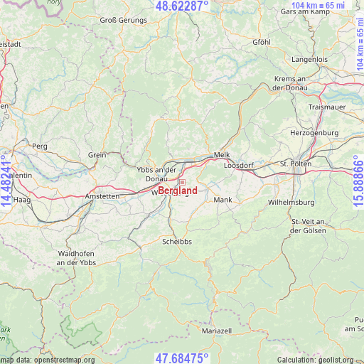
Bergland GPS coordinates[2]
48° 9' 21.42" North, 15° 11' 7.908" East
| Map corner | latitude | longitude |
|---|---|---|
| Upper-left | 48.62287°, | 14.48241° |
| Center: | 48.15595°, | 15.18553° |
| Lower-right: | 47.68475°, | 15.88866° |
| Map W x H: | 104.3×104.3 km | = 64.8×64.8mi |
| max Lat: | 48.98333° ⇑23.9% North |
| Bergland: | 48.15595° |
| min Lat: | ⇓76.1% South 46.48841° |
| min Long | Bergland | max Long |
| 9.57802° | 15.18553° | 17.1° |
| W 57.4%⇐ | ⇒42.6% E |
Elevation
Elevation of Bergland is 256 m = 840 ft, and this is 249.5 m = 819 ft below average elevation for this country.
| Max E: |
2140 m = 7021 ft | 83.3% |
| Avg. | 505.5 m = 1658 ft | |
| Bergland | 256 m = 840 ft | |
Min E: |
118 m = 387 ft | 16.7% |
See also: Austria elevation on elevation.city.
Geographical zone
Bergland is located in North temperate zone (between Tropic of Cancer and the Arctic Circle). Distance of this North polar circle is 2046.7 km =1271.8 mi to North.| Distance of | km | miles | from Bergland |
|---|---|---|---|
| North Pole | 4652.6 | 2891 | to North |
| Arctic Circle | 2046.7 | 1271.8 | to North |
| Tropic Cancer | 2748.5 | 1707.8 | to South |
| Equator | 5354.4 | 3327.1 | to South |


Nearby cities:
15 places around Bergland: (largest is in red/bold)
• Erlauf
3 km =1.9 mi,  356°
356°
• Golling
4.9 km =3 mi, 358°
• Gottsdorf
6.9 km =4.3 mi,  303°
303°
• Klein-Pöchlarn
7.1 km =4.4 mi,  18°
18°
• Krummnußbaum an der Donauuferbahn
6.9 km =4.3 mi,  347°
347°
• Krumnussbaum
6.1 km =3.8 mi,  343°
343°
• Marbach an der Donau
7.2 km =4.5 mi, 338°
• Mühling
7.2 km =4.5 mi,  213°
213°
• Neuda
5.4 km =3.4 mi, 357°
• Petzenkirchen
2.5 km =1.6 mi,  246°
246°
• Pöchlarn
5 km =3.1 mi,  12°
12°
• Ruprechtshofen
7.1 km =4.4 mi,  107°
107°
• Sankt Leonhard am Forst
7.5 km =4.7 mi,  101°
101°
• Weinzierl
5.4 km =3.4 mi,  234°
234°
• Wieselburg
4.6 km =2.9 mi,  236°
236°
Sources, notices
• [Note1] Compared only with cities in Austria existing in our database
• [Src1] Map data: © OpenStreetMap contributors (CC-BY-SA)
• [Src2] Other city data from geonames.org with taken over terms of usage.
• [Src3] Geographical zone / Annual Mean Temperature by Robert A. Rohde @ Wikipedia
