Carmel geodata
Carmel (Western Australia) is a section of populated place; located in Australia in Australia/Perth (GMT+8) time zone. With population of 734 people, there are 4273 cities with bigger population in this country. Compared to other cities in Australia, 64.8% of cities are located further ↓South; 91.5% of cities are located further →East and 84.1% of cities have lower elevation than Carmel. Note1


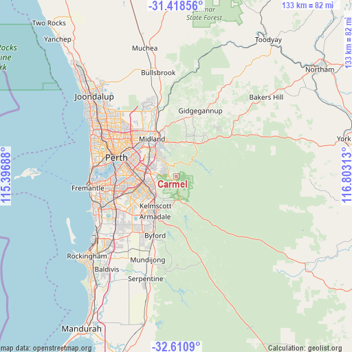
Carmel GPS coordinates[2]
32° 1' 0.012" South, 116° 6' 0" East
| Map corner | latitude | longitude |
|---|---|---|
| Upper-left | -31.41856°, | 115.39688° |
| Center: | -32.01667°, | 116.1° |
| Lower-right: | -32.6109°, | 116.80313° |
| Map W x H: | 132.6×132.6 km | = 82.4×82.4mi |
| max Lat: | -10.58257° ⇑35.2% North |
| Carmel: | -32.01667° |
| min Lat: | ⇓64.8% South -43.31423° |
| min Long | Carmel | max Long |
| 113.53327° | 116.1° | 153.61246° |
| W 8.5%⇐ | ⇒91.5% E |
Elevation
Elevation of Carmel is 232 m = 761 ft, and this is 110 m = 361 ft above average elevation for this country.
| Max E: |
1715 m = 5627 ft | 15.9% |
| Carmel | 232 m 761 ft | |
| Avg. | 122 m = 400 ft | |
Min E: |
-2 m = -7 ft | 84.1% |
See also: Australia elevation on elevation.city.
Geographical zone
Carmel is located in South temperate zone (between Tropic of Capricorn and the Antarctic Circle). Distance of this Southern Tropic circle is 954 km =592.8 mi to North.| Distance of | km | miles | from Carmel |
|---|---|---|---|
| Equator | 3559.9 | 2212 | to North |
| Tropic Capricorn | 954 | 592.8 | to North |
| Antarctic Circle | 3841.3 | 2386.9 | to South |
| South Pole | 6447.1 | 4006 | to South |


Nearby cities:
15 places around Carmel: (largest is in red/bold)
• Bickley
2 km =1.2 mi,  19°
19°
• Darlington
11 km =6.8 mi,  350°
350°
• Forrestfield
9.6 km =6 mi,  293°
293°
• Glen Forrest
10.8 km =6.7 mi,  3°
3°
• Gooseberry Hill
8.4 km =5.2 mi,  325°
325°
• Gosnells
11.4 km =7.1 mi,  231°
231°
• Kalamunda
6.2 km =3.9 mi,  320°
320°
• Lesmurdie
5.1 km =3.2 mi, 288°
• Maida Vale
9.9 km =6.2 mi, 316°
• Martin
8.3 km =5.2 mi,  218°
218°
• Orange Grove
9 km =5.6 mi,  260°
260°
• Pickering Brook
9.9 km =6.2 mi,  110°
110°
• Roleystone
11.2 km =7 mi,  194°
194°
• Walliston
3.3 km =2.1 mi,  312°
312°
• Wattle Grove
9.4 km =5.8 mi,  276°
276°
Sources, notices
• [Note1] Compared only with cities in Australia existing in our database
• [Src1] Map data: © OpenStreetMap contributors (CC-BY-SA)
• [Src2] Other city data from geonames.org with taken over terms of usage.
• [Src3] Geographical zone / Annual Mean Temperature by Robert A. Rohde @ Wikipedia
