Camooweal geodata
Camooweal (Queensland) is a populated place; located in Australia in Australia/Brisbane (GMT+10) time zone. With population of 539 people, there are 4752 cities with bigger population in this country. Compared to other cities in Australia, 94.7% of cities are located further ↓South; 85.3% of cities are located further →East and 84.2% of cities have lower elevation than Camooweal. Note1


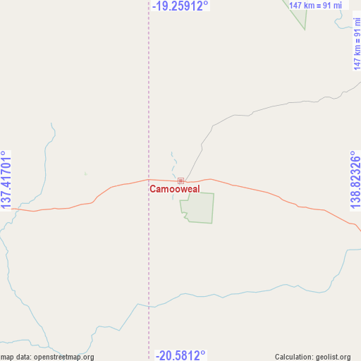
Camooweal GPS coordinates[2]
19° 55' 17.544" South, 138° 7' 12.468" East
| Map corner | latitude | longitude |
|---|---|---|
| Upper-left | -19.25912°, | 137.41701° |
| Center: | -19.92154°, | 138.12013° |
| Lower-right: | -20.5812°, | 138.82326° |
| Map W x H: | 147×147 km | = 91.3×91.3mi |
| max Lat: | -10.58257° ⇑5.3% North |
| Camooweal: | -19.92154° |
| min Lat: | ⇓94.7% South -43.31423° |
| min Long | Camooweal | max Long |
| 113.53327° | 138.12013° | 153.61246° |
| W 14.7%⇐ | ⇒85.3% E |
Elevation
Elevation of Camooweal is 235 m = 771 ft, and this is 113 m = 371 ft above average elevation for this country.
| Max E: |
1715 m = 5627 ft | 15.8% |
| Camooweal | 235 m 771 ft | |
| Avg. | 122 m = 400 ft | |
Min E: |
-2 m = -7 ft | 84.2% |
See also: Australia elevation on elevation.city.
Geographical zone
Camooweal is located in South Torrid zone (between Equator and Tropic of Capricorn). Distance of this Southern Tropic circle is 390.9 km =242.9 mi to South.| Distance of | km | miles | from Camooweal |
|---|---|---|---|
| Equator | 2215.1 | 1376.4 | to North |
| Tropic Capricorn | 390.9 | 242.9 | to South |
| Antarctic Circle | 5186.1 | 3222.5 | to South |
| South Pole | 7792 | 4841.7 | to South |


Nearby cities:
15 places around Camooweal: (largest is in red/bold)
• Cloncurry
264.4 km =164.3 mi,  109°
109°
• Doomadgee
232.2 km =144.3 mi,  18°
18°
• Happy Valley
169.9 km =105.6 mi,  122°
122°
• Healy
170.6 km =106 mi, 122°
• McKinlay
363.2 km =225.7 mi, 114°
• Menzies
168.7 km =104.8 mi, 121°
• Mornington
169.5 km =105.3 mi, 122°
• Mount Isa
169.1 km =105.1 mi, 121°
• Parkside
169.1 km =105.1 mi, 122°
• Pioneer
169.8 km =105.5 mi, 121°
• Sandover
353.1 km =219.4 mi,  230°
230°
• Soldiers Hill
167.3 km =104 mi, 121°
• Sunset
169.2 km =105.1 mi, 121°
• Townview
170.2 km =105.8 mi, 121°
• Winston
168 km =104.4 mi, 121°
Sources, notices
• [Note1] Compared only with cities in Australia existing in our database
• [Src1] Map data: © OpenStreetMap contributors (CC-BY-SA)
• [Src2] Other city data from geonames.org with taken over terms of usage.
• [Src3] Geographical zone / Annual Mean Temperature by Robert A. Rohde @ Wikipedia
