Wurruk geodata
Wurruk (Victoria) is a populated place; located in Australia in Australia/Melbourne (GMT+11) time zone. With population of 1,072 people, there are 3730 cities with bigger population in this country. Compared to other cities in Australia, 93% of cities are located further ↑North; 53% of cities are located further →East and 98.1% of cities have higher elevation than Wurruk. Note1


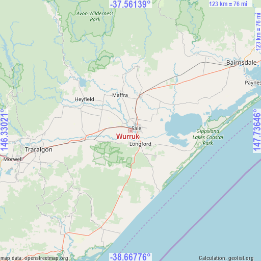
Wurruk GPS coordinates[2]
38° 7' 0.012" South, 147° 1' 59.988" East
| Map corner | latitude | longitude |
|---|---|---|
| Upper-left | -37.56139°, | 146.33021° |
| Center: | -38.11667°, | 147.03333° |
| Lower-right: | -38.66776°, | 147.73646° |
| Map W x H: | 123×123 km | = 76.4×76.4mi |
| max Lat: | -10.58257° ⇑93% North |
| Wurruk: | -38.11667° |
| min Lat: | ⇓7% South -43.31423° |
| min Long | Wurruk | max Long |
| 113.53327° | 147.03333° | 153.61246° |
| W 47%⇐ | ⇒53% E |
Elevation
Elevation of Wurruk is 4 m = 13 ft, and this is 118 m = 387 ft below average elevation for this country.
| Max E: |
1715 m = 5627 ft | 98.1% |
| Avg. | 122 m = 400 ft | |
| Wurruk | 4 m = 13 ft | |
Min E: |
-2 m = -7 ft | 1.9% |
See also: Australia elevation on elevation.city.
Geographical zone
Wurruk is located in South temperate zone (between Tropic of Capricorn and the Antarctic Circle). Distance of this Southern Tropic circle is 1632.3 km =1014.3 mi to North.| Distance of | km | miles | from Wurruk |
|---|---|---|---|
| Equator | 4238.2 | 2633.5 | to North |
| Tropic Capricorn | 1632.3 | 1014.3 | to North |
| Antarctic Circle | 3163 | 1965.4 | to South |
| South Pole | 5768.9 | 3584.6 | to South |


Nearby cities:
15 places around Wurruk: (largest is in red/bold)
• Briagolong
30.6 km =19 mi,  6°
6°
• Fulham
4.8 km =3 mi,  292°
292°
• Glengarry
40.8 km =25.4 mi,  270°
270°
• Hazelwood North
50.9 km =31.6 mi,  250°
250°
• Heyfield
26.4 km =16.4 mi,  304°
304°
• Loch Sport
49.6 km =30.8 mi,  80°
80°
• Longford
6.9 km =4.3 mi,  137°
137°
• Maffra
16.7 km =10.4 mi,  344°
344°
• Rosedale
21.8 km =13.5 mi,  258°
258°
• Sale
3.1 km =1.9 mi, 78°
• Stratford
17.6 km =10.9 mi, 14°
• Toongabbie
37.2 km =23.1 mi,  281°
281°
• Traralgon
43.9 km =27.3 mi, 258°
• Traralgon South
46.7 km =29 mi, 245°
• Tyers
48.5 km =30.1 mi, 265°
Sources, notices
• [Note1] Compared only with cities in Australia existing in our database
• [Src1] Map data: © OpenStreetMap contributors (CC-BY-SA)
• [Src2] Other city data from geonames.org with taken over terms of usage.
• [Src3] Geographical zone / Annual Mean Temperature by Robert A. Rohde @ Wikipedia
