Glengarry geodata
Glengarry (Victoria) is a populated place; located in Australia in Australia/Melbourne (GMT+11) time zone. With population of 1,052 people, there are 3752 cities with bigger population in this country. Compared to other cities in Australia, 93% of cities are located further ↑North; 55.2% of cities are located further →East and 55.4% of cities have lower elevation than Glengarry. Note1


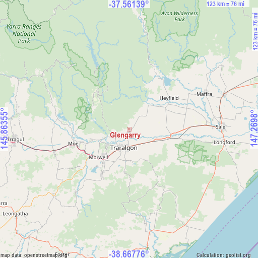
Glengarry GPS coordinates[2]
38° 7' 0.012" South, 146° 34' 0.012" East
| Map corner | latitude | longitude |
|---|---|---|
| Upper-left | -37.56139°, | 145.86355° |
| Center: | -38.11667°, | 146.56667° |
| Lower-right: | -38.66776°, | 147.2698° |
| Map W x H: | 123×123 km | = 76.4×76.4mi |
| max Lat: | -10.58257° ⇑93% North |
| Glengarry: | -38.11667° |
| min Lat: | ⇓7% South -43.31423° |
| min Long | Glengarry | max Long |
| 113.53327° | 146.56667° | 153.61246° |
| W 44.8%⇐ | ⇒55.2% E |
Elevation
Elevation of Glengarry is 54 m = 177 ft, and this is 68 m = 223 ft below average elevation for this country.
| Max E: |
1715 m = 5627 ft | 44.6% |
| Avg. | 122 m = 400 ft | |
| Glengarry | 54 m = 177 ft | |
Min E: |
-2 m = -7 ft | 55.4% |
See also: Australia elevation on elevation.city.
Geographical zone
Glengarry is located in South temperate zone (between Tropic of Capricorn and the Antarctic Circle). Distance of this Southern Tropic circle is 1632.3 km =1014.3 mi to North.| Distance of | km | miles | from Glengarry |
|---|---|---|---|
| Equator | 4238.2 | 2633.5 | to North |
| Tropic Capricorn | 1632.3 | 1014.3 | to North |
| Antarctic Circle | 3163 | 1965.4 | to South |
| South Pole | 5768.9 | 3584.6 | to South |


Nearby cities:
15 places around Glengarry: (largest is in red/bold)
• Churchill
25.1 km =15.6 mi,  212°
212°
• Hazelwood North
18.3 km =11.4 mi,  203°
203°
• Heyfield
24.4 km =15.2 mi,  51°
51°
• Jeeralang Junction
29 km =18 mi, 207°
• Moe
27.6 km =17.1 mi,  255°
255°
• Moe South
29.5 km =18.3 mi,  248°
248°
• Morwell
19.9 km =12.4 mi,  228°
228°
• Newborough
24.7 km =15.3 mi, 255°
• Rosedale
19.9 km =12.4 mi,  102°
102°
• Tanjil South
27.7 km =17.2 mi,  270°
270°
• Toongabbie
8.6 km =5.3 mi,  30°
30°
• Traralgon
9 km =5.6 mi,  194°
194°
• Traralgon South
19.3 km =12 mi, 185°
• Tyers
8.4 km =5.2 mi,  244°
244°
• Yallourn North
18.3 km =11.4 mi, 254°
Sources, notices
• [Note1] Compared only with cities in Australia existing in our database
• [Src1] Map data: © OpenStreetMap contributors (CC-BY-SA)
• [Src2] Other city data from geonames.org with taken over terms of usage.
• [Src3] Geographical zone / Annual Mean Temperature by Robert A. Rohde @ Wikipedia
