Merimbula geodata
Merimbula (New South Wales) is a populated place; located in Australia in Australia/Sydney (GMT+11) time zone. With population of 3,973 people, there are 1797 cities with bigger population in this country. Compared to other cities in Australia, 81.3% of cities are located further ↑North; 56.8% of cities are located further ←West and 98.1% of cities have higher elevation than Merimbula. Note1


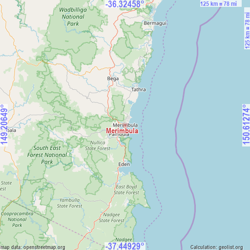
Merimbula GPS coordinates[2]
36° 53' 20.436" South, 149° 54' 34.596" East
| Map corner | latitude | longitude |
|---|---|---|
| Upper-left | -36.32458°, | 149.20649° |
| Center: | -36.88901°, | 149.90961° |
| Lower-right: | -37.44929°, | 150.61274° |
| Map W x H: | 125.1×125.1 km | = 77.7×77.7mi |
| max Lat: | -10.58257° ⇑81.3% North |
| Merimbula: | -36.88901° |
| min Lat: | ⇓18.7% South -43.31423° |
| min Long | Merimbula | max Long |
| 113.53327° | 149.90961° | 153.61246° |
| W 56.8%⇐ | ⇒43.2% E |
Elevation
Elevation of Merimbula is 4 m = 13 ft, and this is 118 m = 387 ft below average elevation for this country.
| Max E: |
1715 m = 5627 ft | 98.1% |
| Avg. | 122 m = 400 ft | |
| Merimbula | 4 m = 13 ft | |
Min E: |
-2 m = -7 ft | 1.9% |
See also: Australia elevation on elevation.city.
Geographical zone
Merimbula is located in South temperate zone (between Tropic of Capricorn and the Antarctic Circle). Distance of this Southern Tropic circle is 1495.8 km =929.4 mi to North.| Distance of | km | miles | from Merimbula |
|---|---|---|---|
| Equator | 4101.7 | 2548.7 | to North |
| Tropic Capricorn | 1495.8 | 929.4 | to North |
| Antarctic Circle | 3299.5 | 2050.2 | to South |
| South Pole | 5905.4 | 3669.4 | to South |


Nearby cities:
15 places around Merimbula: (largest is in red/bold)
• Bega
24.7 km =15.3 mi,  345°
345°
• Bemboka
41.7 km =25.9 mi,  313°
313°
• Bermagui
54 km =33.6 mi,  14°
14°
• Bombala
59.9 km =37.2 mi,  267°
267°
• Candelo
23.4 km =14.5 mi, 305°
• Cobargo
55.8 km =34.7 mi,  357°
357°
• Eden
19.8 km =12.3 mi,  182°
182°
• Kalaru
17.6 km =10.9 mi, 5°
• Mallacoota
75.8 km =47.1 mi,  190°
190°
• Pambula
5.5 km =3.4 mi,  214°
214°
• Pambula Beach
5.9 km =3.7 mi, 185°
• Tathra
18.7 km =11.6 mi,  20°
20°
• Tura Beach
3.4 km =2.1 mi,  33°
33°
• Wallaga Lake
57.7 km =35.9 mi, 14°
• Wolumla
10.8 km =6.7 mi, 306°
Sources, notices
• [Note1] Compared only with cities in Australia existing in our database
• [Src1] Map data: © OpenStreetMap contributors (CC-BY-SA)
• [Src2] Other city data from geonames.org with taken over terms of usage.
• [Src3] Geographical zone / Annual Mean Temperature by Robert A. Rohde @ Wikipedia
