Hazelbrook geodata
Hazelbrook (New South Wales) is a populated place; located in Australia in Australia/Sydney (GMT+11) time zone. With population of 4,880 people, there are 1510 cities with bigger population in this country. Compared to other cities in Australia, 50.7% of cities are located further ↓South; 58.4% of cities are located further ←West and 97.6% of cities have lower elevation than Hazelbrook. Note1


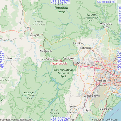
Hazelbrook GPS coordinates[2]
33° 43' 28.056" South, 150° 27' 30.204" East
| Map corner | latitude | longitude |
|---|---|---|
| Upper-left | -33.13767°, | 149.75527° |
| Center: | -33.72446°, | 150.45839° |
| Lower-right: | -34.30726°, | 151.16152° |
| Map W x H: | 130×130 km | = 80.8×80.8mi |
| max Lat: | -10.58257° ⇑49.3% North |
| Hazelbrook: | -33.72446° |
| min Lat: | ⇓50.7% South -43.31423° |
| min Long | Hazelbrook | max Long |
| 113.53327° | 150.45839° | 153.61246° |
| W 58.4%⇐ | ⇒41.6% E |
Elevation
Elevation of Hazelbrook is 650 m = 2133 ft, and this is 528 m = 1732 ft above average elevation for this country.
| Max E: |
1715 m = 5627 ft | 2.4% |
| Hazelbrook | 650 m 2133 ft | |
| Avg. | 122 m = 400 ft | |
Min E: |
-2 m = -7 ft | 97.6% |
See also: Australia elevation on elevation.city.
Geographical zone
Hazelbrook is located in South temperate zone (between Tropic of Capricorn and the Antarctic Circle). Distance of this Southern Tropic circle is 1143.9 km =710.8 mi to North.| Distance of | km | miles | from Hazelbrook |
|---|---|---|---|
| Equator | 3749.8 | 2330 | to North |
| Tropic Capricorn | 1143.9 | 710.8 | to North |
| Antarctic Circle | 3651.4 | 2268.9 | to South |
| South Pole | 6257.3 | 3888.1 | to South |


Nearby cities:
15 places around Hazelbrook: (largest is in red/bold)
• Blaxland
13.4 km =8.3 mi,  102°
102°
• Bullaburra
3.8 km =2.4 mi,  262°
262°
• Faulconbridge
7.4 km =4.6 mi,  68°
68°
• Glenbrook
15.4 km =9.6 mi,  107°
107°
• Katoomba
14 km =8.7 mi,  272°
272°
• Lawson
2.7 km =1.7 mi,  279°
279°
• Leura
11.6 km =7.2 mi, 274°
• Mount Riverview
16.4 km =10.2 mi,  92°
92°
• Springwood
8.9 km =5.5 mi, 72°
• Valley Heights
11.9 km =7.4 mi,  76°
76°
• Warrimoo
13.1 km =8.1 mi, 86°
• Wentworth Falls
7.8 km =4.8 mi, 281°
• Winmalee
15.1 km =9.4 mi, 70°
• Woodford
2.5 km =1.6 mi, 113°
• Yellow Rock
16.6 km =10.3 mi, 79°
Sources, notices
• [Note1] Compared only with cities in Australia existing in our database
• [Src1] Map data: © OpenStreetMap contributors (CC-BY-SA)
• [Src2] Other city data from geonames.org with taken over terms of usage.
• [Src3] Geographical zone / Annual Mean Temperature by Robert A. Rohde @ Wikipedia
