Oxenford geodata
Oxenford (Queensland) is a section of populated place; located in Australia in Australia/Brisbane (GMT+10) time zone. With population of 11,797 people, there are 431 cities with bigger population in this country. Compared to other cities in Australia, 76.8% of cities are located further ↓South; 97.7% of cities are located further ←West and 91.8% of cities have higher elevation than Oxenford. Note1


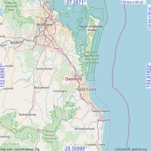
Oxenford GPS coordinates[2]
27° 53' 25.188" South, 153° 18' 47.124" East
| Map corner | latitude | longitude |
|---|---|---|
| Upper-left | -27.2671°, | 152.60997° |
| Center: | -27.89033°, | 153.31309° |
| Lower-right: | -28.50999°, | 154.01622° |
| Map W x H: | 138.2×138.2 km | = 85.9×85.9mi |
| max Lat: | -10.58257° ⇑23.2% North |
| Oxenford: | -27.89033° |
| min Lat: | ⇓76.8% South -43.31423° |
| min Long | Oxenford | max Long |
| 113.53327° | 153.31309° | 153.61246° |
| W 97.7%⇐ | ⇒2.3% E |
Elevation
Elevation of Oxenford is 8 m = 26 ft, and this is 114 m = 374 ft below average elevation for this country.
| Max E: |
1715 m = 5627 ft | 91.8% |
| Avg. | 122 m = 400 ft | |
| Oxenford | 8 m = 26 ft | |
Min E: |
-2 m = -7 ft | 8.2% |
See also: Australia elevation on elevation.city.
Geographical zone
Oxenford is located in South temperate zone (between Tropic of Capricorn and the Antarctic Circle). Distance of this Southern Tropic circle is 495.2 km =307.7 mi to North.| Distance of | km | miles | from Oxenford |
|---|---|---|---|
| Equator | 3101.1 | 1926.9 | to North |
| Tropic Capricorn | 495.2 | 307.7 | to North |
| Antarctic Circle | 4300.1 | 2672 | to South |
| South Pole | 6905.9 | 4291.1 | to South |


Nearby cities:
15 places around Oxenford: (largest is in red/bold)
• Arundel
7.2 km =4.5 mi,  137°
137°
• Coombabah
6.1 km =3.8 mi,  111°
111°
• Coomera
5.8 km =3.6 mi,  25°
25°
• Gaven
7.7 km =4.8 mi,  164°
164°
• Helensvale
3.7 km =2.3 mi,  148°
148°
• Hollywell
8.2 km =5.1 mi,  98°
98°
• Hope Island
4.4 km =2.7 mi,  59°
59°
• Maudsland
8.1 km =5 mi,  214°
214°
• Pacific Pines
5.5 km =3.4 mi,  178°
178°
• Paradise Point
7.9 km =4.9 mi,  87°
87°
• Pimpama
8.3 km =5.2 mi,  351°
351°
• Runaway Bay
8.7 km =5.4 mi, 107°
• Upper Coomera
3.1 km =1.9 mi,  299°
299°
• Willow Vale
7 km =4.3 mi,  315°
315°
• Wongawallan
8.5 km =5.3 mi,  281°
281°
Sources, notices
• [Note1] Compared only with cities in Australia existing in our database
• [Src1] Map data: © OpenStreetMap contributors (CC-BY-SA)
• [Src2] Other city data from geonames.org with taken over terms of usage.
• [Src3] Geographical zone / Annual Mean Temperature by Robert A. Rohde @ Wikipedia
