Kurwongbah geodata
Kurwongbah (Queensland) is a section of populated place; located in Australia in Australia/Brisbane (GMT+10) time zone. With population of 1,441 people, there are 3330 cities with bigger population in this country. Compared to other cities in Australia, 85% of cities are located further ↓South; 90.3% of cities are located further ←West and 50.4% of cities have higher elevation than Kurwongbah. Note1


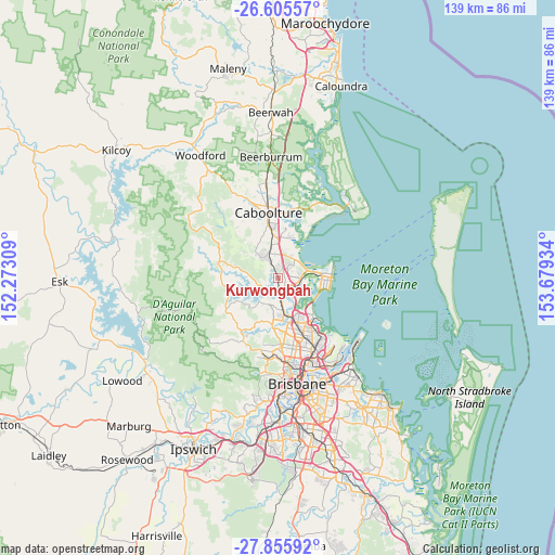
Kurwongbah GPS coordinates[2]
27° 13' 57" South, 152° 58' 34.356" East
| Map corner | latitude | longitude |
|---|---|---|
| Upper-left | -26.60557°, | 152.27309° |
| Center: | -27.2325°, | 152.97621° |
| Lower-right: | -27.85592°, | 153.67934° |
| Map W x H: | 139×139 km | = 86.4×86.4mi |
| max Lat: | -10.58257° ⇑15% North |
| Kurwongbah: | -27.2325° |
| min Lat: | ⇓85% South -43.31423° |
| min Long | Kurwongbah | max Long |
| 113.53327° | 152.97621° | 153.61246° |
| W 90.3%⇐ | ⇒9.7% E |
Elevation
Elevation of Kurwongbah is 45 m = 148 ft, and this is 77 m = 253 ft below average elevation for this country.
| Max E: |
1715 m = 5627 ft | 50.4% |
| Avg. | 122 m = 400 ft | |
| Kurwongbah | 45 m = 148 ft | |
Min E: |
-2 m = -7 ft | 49.6% |
See also: Australia elevation on elevation.city.
Geographical zone
Kurwongbah is located in South temperate zone (between Tropic of Capricorn and the Antarctic Circle). Distance of this Southern Tropic circle is 422.1 km =262.3 mi to North.| Distance of | km | miles | from Kurwongbah |
|---|---|---|---|
| Equator | 3028 | 1881.5 | to North |
| Tropic Capricorn | 422.1 | 262.3 | to North |
| Antarctic Circle | 4373.2 | 2717.4 | to South |
| South Pole | 6979.1 | 4336.6 | to South |


Nearby cities:
15 places around Kurwongbah: (largest is in red/bold)
• Bray Park
6.7 km =4.2 mi,  187°
187°
• Dakabin
1.6 km =1 mi,  63°
63°
• Deception Bay
6.6 km =4.1 mi,  48°
48°
• Griffin
7.6 km =4.7 mi,  124°
124°
• Joyner
5.8 km =3.6 mi,  212°
212°
• Kallangur
2.7 km =1.7 mi,  143°
143°
• Lawnton
5.7 km =3.5 mi,  172°
172°
• Mango Hill
4.9 km =3 mi,  104°
104°
• Murrumba Downs
5.1 km =3.2 mi, 138°
• Narangba
3.6 km =2.2 mi,  332°
332°
• North Lakes
4.5 km =2.8 mi,  78°
78°
• Petrie
3.9 km =2.4 mi, 169°
• Rothwell
7.3 km =4.5 mi,  73°
73°
• Strathpine
8.1 km =5 mi, 170°
• Whiteside
6.9 km =4.3 mi,  246°
246°
Sources, notices
• [Note1] Compared only with cities in Australia existing in our database
• [Src1] Map data: © OpenStreetMap contributors (CC-BY-SA)
• [Src2] Other city data from geonames.org with taken over terms of usage.
• [Src3] Geographical zone / Annual Mean Temperature by Robert A. Rohde @ Wikipedia
