Darwin River geodata
Darwin River (Northern Territory) is a section of populated place; located in Australia in Australia/Darwin (GMT+9.5) time zone. With population of 702 people, there are 4324 cities with bigger population in this country. Compared to other cities in Australia, 98.4% of cities are located further ↓South; 87.7% of cities are located further →East and 68.7% of cities have lower elevation than Darwin River. Note1


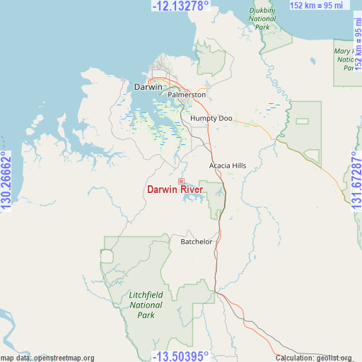
Darwin River GPS coordinates[2]
12° 49' 9.48" South, 130° 58' 11.064" East
| Map corner | latitude | longitude |
|---|---|---|
| Upper-left | -12.13278°, | 130.26662° |
| Center: | -12.8193°, | 130.96974° |
| Lower-right: | -13.50395°, | 131.67287° |
| Map W x H: | 152.5×152.5 km | = 94.8×94.8mi |
| max Lat: | -10.58257° ⇑1.6% North |
| Darwin River: | -12.8193° |
| min Lat: | ⇓98.4% South -43.31423° |
| min Long | Darwin River | max Long |
| 113.53327° | 130.96974° | 153.61246° |
| W 12.3%⇐ | ⇒87.7% E |
Elevation
Elevation of Darwin River is 95 m = 312 ft, and this is 27 m = 89 ft below average elevation for this country.
| Max E: |
1715 m = 5627 ft | 31.3% |
| Avg. | 122 m = 400 ft | |
| Darwin River | 95 m = 312 ft | |
Min E: |
-2 m = -7 ft | 68.7% |
See also: Australia elevation on elevation.city.
Geographical zone
Darwin River is located in South Torrid zone (between Equator and Tropic of Capricorn). Distance of this Southern Tropic circle is 1180.5 km =733.5 mi to South.| Distance of | km | miles | from Darwin River |
|---|---|---|---|
| Equator | 1425.4 | 885.7 | to North |
| Tropic Capricorn | 1180.5 | 733.5 | to South |
| Antarctic Circle | 5975.8 | 3713.2 | to South |
| South Pole | 8581.7 | 5332.4 | to South |


Nearby cities:
15 places around Darwin River: (largest is in red/bold)
• Acacia Hills
17.1 km =10.6 mi,  80°
80°
• Batchelor
26.5 km =16.5 mi,  165°
165°
• Bees Creek
28.4 km =17.6 mi,  20°
20°
• Bellamack
33.6 km =20.9 mi,  2°
2°
• Berry Springs
14.1 km =8.8 mi, 20°
• Coolalinga
33.8 km =21 mi,  13°
13°
• Girraween
35.4 km =22 mi, 22°
• Humpty Doo
31.8 km =19.8 mi,  34°
34°
• McMinns Lagoon
32.3 km =20.1 mi, 20°
• Moulden
34.9 km =21.7 mi, 0°
• Rosebery
34.4 km =21.4 mi, 3°
• Virginia
34 km =21.1 mi, 10°
• Wickham
30 km =18.6 mi,  350°
350°
• Woodroffe
35.3 km =21.9 mi, 1°
• Zuccoli
34.9 km =21.7 mi, 6°
Sources, notices
• [Note1] Compared only with cities in Australia existing in our database
• [Src1] Map data: © OpenStreetMap contributors (CC-BY-SA)
• [Src2] Other city data from geonames.org with taken over terms of usage.
• [Src3] Geographical zone / Annual Mean Temperature by Robert A. Rohde @ Wikipedia
