O'Connor geodata
O'Connor (ACT) is a section of populated place; located in Australia in Australia/Sydney (GMT+11) time zone. With population of 5,450 people, there are 1358 cities with bigger population in this country. Compared to other cities in Australia, 75% of cities are located further ↑North; 54.2% of cities are located further ←West and 96.7% of cities have lower elevation than O'Connor. Note1


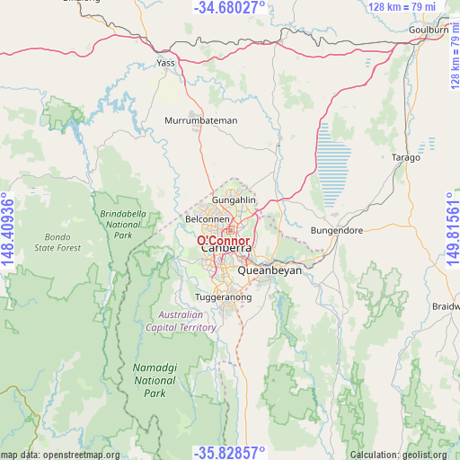
O'Connor GPS coordinates[2]
35° 15' 23.22" South, 149° 6' 44.928" East
| Map corner | latitude | longitude |
|---|---|---|
| Upper-left | -34.68027°, | 148.40936° |
| Center: | -35.25645°, | 149.11248° |
| Lower-right: | -35.82857°, | 149.81561° |
| Map W x H: | 127.7×127.7 km | = 79.3×79.3mi |
| max Lat: | -10.58257° ⇑75% North |
| O'Connor: | -35.25645° |
| min Lat: | ⇓25% South -43.31423° |
| min Long | O'Connor | max Long |
| 113.53327° | 149.11248° | 153.61246° |
| W 54.2%⇐ | ⇒45.8% E |
Elevation
Elevation of O'Connor is 621 m = 2037 ft, and this is 499 m = 1637 ft above average elevation for this country.
| Max E: |
1715 m = 5627 ft | 3.3% |
| O'Connor | 621 m 2037 ft | |
| Avg. | 122 m = 400 ft | |
Min E: |
-2 m = -7 ft | 96.7% |
See also: Australia elevation on elevation.city.
Geographical zone
O'Connor is located in South temperate zone (between Tropic of Capricorn and the Antarctic Circle). Distance of this Southern Tropic circle is 1314.2 km =816.6 mi to North.| Distance of | km | miles | from O'Connor |
|---|---|---|---|
| Equator | 3920.1 | 2435.8 | to North |
| Tropic Capricorn | 1314.2 | 816.6 | to North |
| Antarctic Circle | 3481 | 2163 | to South |
| South Pole | 6086.9 | 3782.2 | to South |


Nearby cities:
15 places around O'Connor: (largest is in red/bold)
• Acton
2.4 km =1.5 mi,  167°
167°
• Ainslie
2.9 km =1.8 mi,  103°
103°
• Aranda
2.9 km =1.8 mi,  266°
266°
• Braddon
2.6 km =1.6 mi,  127°
127°
• Bruce
2.4 km =1.5 mi,  305°
305°
• Canberra
3.3 km =2.1 mi,  154°
154°
• City
3.2 km =2 mi, 151°
• Cook
4.3 km =2.7 mi,  264°
264°
• Dickson
2.5 km =1.6 mi,  75°
75°
• Downer
3.2 km =2 mi,  65°
65°
• Kaleen
4.3 km =2.7 mi,  351°
351°
• Lyneham
2.5 km =1.6 mi,  41°
41°
• Reid
4.1 km =2.5 mi,  143°
143°
• Turner
1.8 km =1.1 mi, 141°
• Watson
4.2 km =2.6 mi,  60°
60°
Sources, notices
• [Note1] Compared only with cities in Australia existing in our database
• [Src1] Map data: © OpenStreetMap contributors (CC-BY-SA)
• [Src2] Other city data from geonames.org with taken over terms of usage.
• [Src3] Geographical zone / Annual Mean Temperature by Robert A. Rohde @ Wikipedia
