Chuwar geodata
Chuwar (Queensland) is a section of populated place; located in Australia in Australia/Brisbane (GMT+10) time zone. With population of 2,174 people, there are 2775 cities with bigger population in this country. Compared to other cities in Australia, 80.3% of cities are located further ↓South; 86.7% of cities are located further ←West and 52.8% of cities have lower elevation than Chuwar. Note1


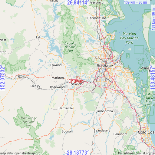
Chuwar GPS coordinates[2]
27° 33' 58.32" South, 152° 46' 42.384" East
| Map corner | latitude | longitude |
|---|---|---|
| Upper-left | -26.94114°, | 152.07532° |
| Center: | -27.5662°, | 152.77844° |
| Lower-right: | -28.18773°, | 153.48157° |
| Map W x H: | 138.6×138.6 km | = 86.1×86.1mi |
| max Lat: | -10.58257° ⇑19.7% North |
| Chuwar: | -27.5662° |
| min Lat: | ⇓80.3% South -43.31423° |
| min Long | Chuwar | max Long |
| 113.53327° | 152.77844° | 153.61246° |
| W 86.7%⇐ | ⇒13.3% E |
Elevation
Elevation of Chuwar is 49 m = 161 ft, and this is 73 m = 240 ft below average elevation for this country.
| Max E: |
1715 m = 5627 ft | 47.2% |
| Avg. | 122 m = 400 ft | |
| Chuwar | 49 m = 161 ft | |
Min E: |
-2 m = -7 ft | 52.8% |
See also: Australia elevation on elevation.city.
Geographical zone
Chuwar is located in South temperate zone (between Tropic of Capricorn and the Antarctic Circle). Distance of this Southern Tropic circle is 459.2 km =285.3 mi to North.| Distance of | km | miles | from Chuwar |
|---|---|---|---|
| Equator | 3065.1 | 1904.6 | to North |
| Tropic Capricorn | 459.2 | 285.3 | to North |
| Antarctic Circle | 4336.1 | 2694.3 | to South |
| South Pole | 6942 | 4313.6 | to South |


Nearby cities:
15 places around Chuwar: (largest is in red/bold)
• Basin Pocket
3.8 km =2.4 mi,  190°
190°
• Booval
5.3 km =3.3 mi,  168°
168°
• Brassall
4.6 km =2.9 mi,  221°
221°
• Bundamba
5.8 km =3.6 mi,  146°
146°
• Coalfalls
5.6 km =3.5 mi,  213°
213°
• East Ipswich
4.5 km =2.8 mi, 187°
• Karalee
4.5 km =2.8 mi,  88°
88°
• Karana Downs
3.5 km =2.2 mi,  55°
55°
• Moores Pocket
3.5 km =2.2 mi,  181°
181°
• Mount Crosby
4 km =2.5 mi,  42°
42°
• Newtown
5.6 km =3.5 mi, 181°
• North Booval
4.5 km =2.8 mi,  158°
158°
• North Ipswich
4.4 km =2.7 mi,  202°
202°
• Tivoli
3.1 km =1.9 mi, 199°
• Woodend
5 km =3.1 mi, 209°
Sources, notices
• [Note1] Compared only with cities in Australia existing in our database
• [Src1] Map data: © OpenStreetMap contributors (CC-BY-SA)
• [Src2] Other city data from geonames.org with taken over terms of usage.
• [Src3] Geographical zone / Annual Mean Temperature by Robert A. Rohde @ Wikipedia
