Waramanga geodata
Waramanga (ACT) is a section of populated place; located in Australia in Australia/Sydney (GMT+11) time zone. With population of 2,530 people, there are 2547 cities with bigger population in this country. Compared to other cities in Australia, 76.1% of cities are located further ↑North; 53.2% of cities are located further ←West and 96.6% of cities have lower elevation than Waramanga. Note1


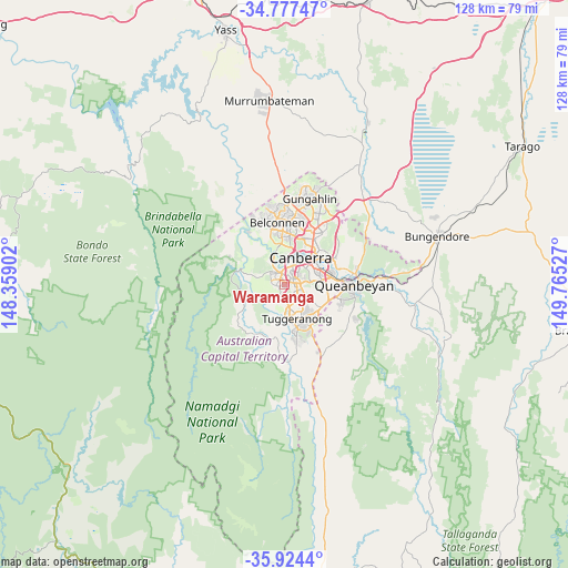
Waramanga GPS coordinates[2]
35° 21' 10.692" South, 149° 3' 43.704" East
| Map corner | latitude | longitude |
|---|---|---|
| Upper-left | -34.77747°, | 148.35902° |
| Center: | -35.35297°, | 149.06214° |
| Lower-right: | -35.9244°, | 149.76527° |
| Map W x H: | 127.5×127.5 km | = 79.2×79.2mi |
| max Lat: | -10.58257° ⇑76.1% North |
| Waramanga: | -35.35297° |
| min Lat: | ⇓23.9% South -43.31423° |
| min Long | Waramanga | max Long |
| 113.53327° | 149.06214° | 153.61246° |
| W 53.2%⇐ | ⇒46.8% E |
Elevation
Elevation of Waramanga is 620 m = 2034 ft, and this is 498 m = 1634 ft above average elevation for this country.
| Max E: |
1715 m = 5627 ft | 3.4% |
| Waramanga | 620 m 2034 ft | |
| Avg. | 122 m = 400 ft | |
Min E: |
-2 m = -7 ft | 96.6% |
See also: Australia elevation on elevation.city.
Geographical zone
Waramanga is located in South temperate zone (between Tropic of Capricorn and the Antarctic Circle). Distance of this Southern Tropic circle is 1325 km =823.3 mi to North.| Distance of | km | miles | from Waramanga |
|---|---|---|---|
| Equator | 3930.9 | 2442.5 | to North |
| Tropic Capricorn | 1325 | 823.3 | to North |
| Antarctic Circle | 3470.3 | 2156.3 | to South |
| South Pole | 6076.2 | 3775.6 | to South |


Nearby cities:
15 places around Waramanga: (largest is in red/bold)
• Chapman
2.3 km =1.4 mi,  260°
260°
• Chifley
1.3 km =0.8 mi,  92°
92°
• Curtin
3.4 km =2.1 mi,  24°
24°
• Duffy
3.4 km =2.1 mi,  306°
306°
• Fisher
1 km =0.6 mi,  206°
206°
• Holder
2.5 km =1.6 mi,  324°
324°
• Hughes
3.7 km =2.3 mi,  52°
52°
• Lyons
1.7 km =1.1 mi,  37°
37°
• Mawson
3.5 km =2.2 mi,  109°
109°
• Pearce
2.2 km =1.4 mi,  118°
118°
• Phillip
2.7 km =1.7 mi,  83°
83°
• Rivett
2.3 km =1.4 mi,  286°
286°
• Stirling
1.2 km =0.7 mi, 287°
• Torrens
3.1 km =1.9 mi,  132°
132°
• Weston
1.9 km =1.2 mi,  352°
352°
Sources, notices
• [Note1] Compared only with cities in Australia existing in our database
• [Src1] Map data: © OpenStreetMap contributors (CC-BY-SA)
• [Src2] Other city data from geonames.org with taken over terms of usage.
• [Src3] Geographical zone / Annual Mean Temperature by Robert A. Rohde @ Wikipedia
