Miandetta geodata
Miandetta (Tasmania) is a section of populated place; located in Australia in Australia/Hobart (GMT+11) time zone. With population of 1,784 people, there are 3062 cities with bigger population in this country. Compared to other cities in Australia, 96.9% of cities are located further ↑North; 55.8% of cities are located further →East and 51.1% of cities have lower elevation than Miandetta. Note1


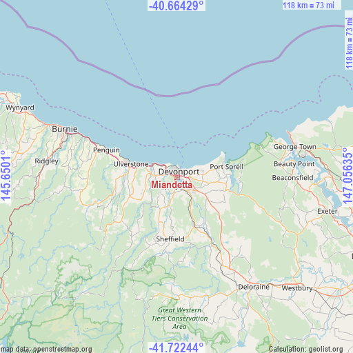
Miandetta GPS coordinates[2]
41° 11' 43.8" South, 146° 21' 11.592" East
| Map corner | latitude | longitude |
|---|---|---|
| Upper-left | -40.66429°, | 145.6501° |
| Center: | -41.1955°, | 146.35322° |
| Lower-right: | -41.72244°, | 147.05635° |
| Map W x H: | 117.7×117.7 km | = 73.1×73.1mi |
| max Lat: | -10.58257° ⇑96.9% North |
| Miandetta: | -41.1955° |
| min Lat: | ⇓3.1% South -43.31423° |
| min Long | Miandetta | max Long |
| 113.53327° | 146.35322° | 153.61246° |
| W 44.2%⇐ | ⇒55.8% E |
Elevation
Elevation of Miandetta is 47 m = 154 ft, and this is 75 m = 246 ft below average elevation for this country.
| Max E: |
1715 m = 5627 ft | 48.9% |
| Avg. | 122 m = 400 ft | |
| Miandetta | 47 m = 154 ft | |
Min E: |
-2 m = -7 ft | 51.1% |
See also: Australia elevation on elevation.city.
Geographical zone
Miandetta is located in South temperate zone (between Tropic of Capricorn and the Antarctic Circle). Distance of this Southern Tropic circle is 1974.6 km =1227 mi to North.| Distance of | km | miles | from Miandetta |
|---|---|---|---|
| Equator | 4580.5 | 2846.2 | to North |
| Tropic Capricorn | 1974.6 | 1227 | to North |
| Antarctic Circle | 2820.7 | 1752.7 | to South |
| South Pole | 5426.6 | 3371.9 | to South |


Nearby cities:
15 places around Miandetta: (largest is in red/bold)
• Ambleside
1.8 km =1.1 mi,  118°
118°
• Devonport
2.1 km =1.3 mi,  356°
356°
• Don
3.7 km =2.3 mi,  308°
308°
• East Devonport
2.9 km =1.8 mi,  73°
73°
• Forth
10.7 km =6.6 mi,  260°
260°
• Gawler
16.4 km =10.2 mi,  270°
270°
• Latrobe
8.2 km =5.1 mi,  133°
133°
• Port Sorell
17 km =10.6 mi,  79°
79°
• Railton
17.7 km =11 mi,  160°
160°
• Shearwater
15.6 km =9.7 mi, 73°
• Spreyton
4.4 km =2.7 mi,  182°
182°
• Stony Rise
1.9 km =1.2 mi, 269°
• Turners Beach
10.9 km =6.8 mi,  290°
290°
• Ulverstone
14.8 km =9.2 mi, 285°
• West Ulverstone
19.7 km =12.2 mi, 285°
Sources, notices
• [Note1] Compared only with cities in Australia existing in our database
• [Src1] Map data: © OpenStreetMap contributors (CC-BY-SA)
• [Src2] Other city data from geonames.org with taken over terms of usage.
• [Src3] Geographical zone / Annual Mean Temperature by Robert A. Rohde @ Wikipedia
