Spreyton geodata
Spreyton (Tasmania) is a populated place; located in Australia in Australia/Hobart (GMT+11) time zone. With population of 1,615 people, there are 3171 cities with bigger population in this country. Compared to other cities in Australia, 97.1% of cities are located further ↑North; 55.9% of cities are located further →East and 50.2% of cities have lower elevation than Spreyton. Note1


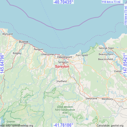
Spreyton GPS coordinates[2]
41° 14' 6.864" South, 146° 21' 3.888" East
| Map corner | latitude | longitude |
|---|---|---|
| Upper-left | -40.70435°, | 145.64796° |
| Center: | -41.23524°, | 146.35108° |
| Lower-right: | -41.76186°, | 147.05421° |
| Map W x H: | 117.6×117.6 km | = 73.1×73.1mi |
| max Lat: | -10.58257° ⇑97.1% North |
| Spreyton: | -41.23524° |
| min Lat: | ⇓2.9% South -43.31423° |
| min Long | Spreyton | max Long |
| 113.53327° | 146.35108° | 153.61246° |
| W 44.1%⇐ | ⇒55.9% E |
Elevation
Elevation of Spreyton is 46 m = 151 ft, and this is 76 m = 249 ft below average elevation for this country.
| Max E: |
1715 m = 5627 ft | 49.8% |
| Avg. | 122 m = 400 ft | |
| Spreyton | 46 m = 151 ft | |
Min E: |
-2 m = -7 ft | 50.2% |
See also: Australia elevation on elevation.city.
Geographical zone
Spreyton is located in South temperate zone (between Tropic of Capricorn and the Antarctic Circle). Distance of this Southern Tropic circle is 1979 km =1229.7 mi to North.| Distance of | km | miles | from Spreyton |
|---|---|---|---|
| Equator | 4584.9 | 2848.9 | to North |
| Tropic Capricorn | 1979 | 1229.7 | to North |
| Antarctic Circle | 2816.2 | 1749.9 | to South |
| South Pole | 5422.1 | 3369.1 | to South |


Nearby cities:
15 places around Spreyton: (largest is in red/bold)
• Ambleside
4 km =2.5 mi,  26°
26°
• Devonport
6.5 km =4 mi,  0°
0°
• Don
7.2 km =4.5 mi,  338°
338°
• East Devonport
6 km =3.7 mi, 29°
• Forth
10.7 km =6.6 mi,  284°
284°
• Gawler
16.9 km =10.5 mi,  285°
285°
• Latrobe
6.3 km =3.9 mi,  101°
101°
• Miandetta
4.4 km =2.7 mi, 2°
• Port Sorell
18.5 km =11.5 mi,  65°
65°
• Railton
13.7 km =8.5 mi,  153°
153°
• Shearwater
17.5 km =10.9 mi,  59°
59°
• Sheffield
18.3 km =11.4 mi,  183°
183°
• Stony Rise
4.7 km =2.9 mi, 338°
• Turners Beach
13 km =8.1 mi,  309°
309°
• Ulverstone
16.4 km =10.2 mi,  300°
300°
Sources, notices
• [Note1] Compared only with cities in Australia existing in our database
• [Src1] Map data: © OpenStreetMap contributors (CC-BY-SA)
• [Src2] Other city data from geonames.org with taken over terms of usage.
• [Src3] Geographical zone / Annual Mean Temperature by Robert A. Rohde @ Wikipedia
