Hemmant geodata
Hemmant (Queensland) is a section of populated place; located in Australia in Australia/Brisbane (GMT+10) time zone. With population of 2,338 people, there are 2665 cities with bigger population in this country. Compared to other cities in Australia, 83.1% of cities are located further ↓South; 95.7% of cities are located further ←West and 99.9% of cities have higher elevation than Hemmant. Note1


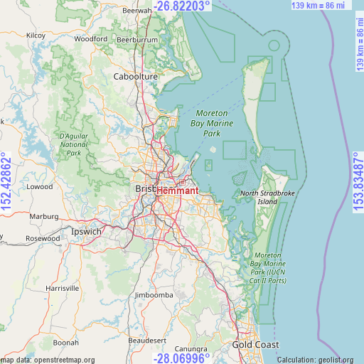
Hemmant GPS coordinates[2]
27° 26' 51.936" South, 153° 7' 54.264" East
| Map corner | latitude | longitude |
|---|---|---|
| Upper-left | -26.82203°, | 152.42862° |
| Center: | -27.44776°, | 153.13174° |
| Lower-right: | -28.06996°, | 153.83487° |
| Map W x H: | 138.8×138.8 km | = 86.2×86.2mi |
| max Lat: | -10.58257° ⇑16.9% North |
| Hemmant: | -27.44776° |
| min Lat: | ⇓83.1% South -43.31423° |
| min Long | Hemmant | max Long |
| 113.53327° | 153.13174° | 153.61246° |
| W 95.7%⇐ | ⇒4.3% E |
Elevation
Elevation of Hemmant is 1 m = 3 ft, and this is 121 m = 397 ft below average elevation for this country.
| Max E: |
1715 m = 5627 ft | 99.9% |
| Avg. | 122 m = 400 ft | |
| Hemmant | 1 m = 3 ft | |
Min E: |
-2 m = -7 ft | 0.1% |
See also: Australia elevation on elevation.city.
Geographical zone
Hemmant is located in South temperate zone (between Tropic of Capricorn and the Antarctic Circle). Distance of this Southern Tropic circle is 446 km =277.1 mi to North.| Distance of | km | miles | from Hemmant |
|---|---|---|---|
| Equator | 3051.9 | 1896.4 | to North |
| Tropic Capricorn | 446 | 277.1 | to North |
| Antarctic Circle | 4349.3 | 2702.5 | to South |
| South Pole | 6955.2 | 4321.8 | to South |


Nearby cities:
15 places around Hemmant: (largest is in red/bold)
• Balmoral
6.4 km =4 mi,  264°
264°
• Belmont
5.7 km =3.5 mi,  177°
177°
• Cannon Hill
4.6 km =2.9 mi,  233°
233°
• Gumdale
5.3 km =3.3 mi,  156°
156°
• Hamilton
6.9 km =4.3 mi,  278°
278°
• Hendra
6.9 km =4.3 mi,  298°
298°
• Lota
5.8 km =3.6 mi,  114°
114°
• Manly West
4.5 km =2.8 mi,  130°
130°
• Morningside
5.8 km =3.6 mi,  254°
254°
• Murarrie
3.7 km =2.3 mi,  243°
243°
• Seven Hills
6.9 km =4.3 mi, 234°
• Tingalpa
2.9 km =1.8 mi,  189°
189°
• Wakerley
4.6 km =2.9 mi,  148°
148°
• Wynnum
2.6 km =1.6 mi,  83°
83°
• Wynnum West
2.4 km =1.5 mi,  118°
118°
Sources, notices
• [Note1] Compared only with cities in Australia existing in our database
• [Src1] Map data: © OpenStreetMap contributors (CC-BY-SA)
• [Src2] Other city data from geonames.org with taken over terms of usage.
• [Src3] Geographical zone / Annual Mean Temperature by Robert A. Rohde @ Wikipedia
