Sourgoubila geodata
Sourgoubila (Plateau-Central) is a seat of a third-order administrative division; located in Burkina Faso in Africa/Ouagadougou (GMT+0) time zone. In our database, there are 49 cities with bigger population. Compared to other cities in Burkina Faso, 53.2% of cities are located further ↑North; 60.8% of cities are located further →East and 75.9% of cities have lower elevation than Sourgoubila. Note1


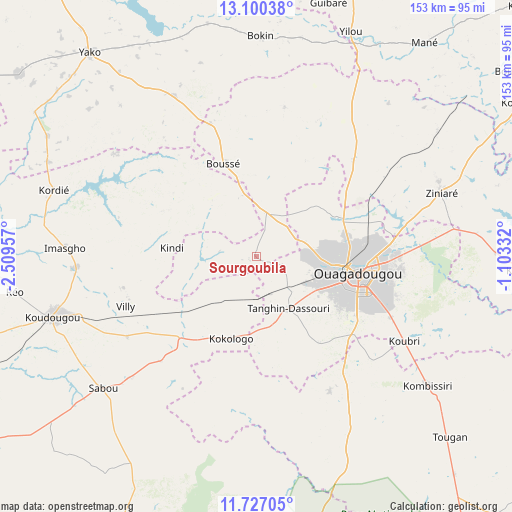
Sourgoubila GPS coordinates[2]
12° 24' 52.632" North, 1° 48' 23.184" West
| Map corner | latitude | longitude |
|---|---|---|
| Upper-left | 13.10038°, | -2.50957° |
| Center: | 12.41462°, | -1.80644° |
| Lower-right: | 11.72705°, | -1.10332° |
| Map W x H: | 152.7×152.7 km | = 94.9×94.9mi |
| max Lat: | 14.96549° ⇑53.2% North |
| Sourgoubila: | 12.41462° |
| min Lat: | ⇓46.8% South 9.88333° |
| min Long | Sourgoubila | max Long |
| -5.16667° | -1.80644° | 1.78838° |
| W 39.2%⇐ | ⇒60.8% E |
Elevation
Elevation of Sourgoubila is 325 m = 1066 ft, and this is 22 m = 72 ft above average elevation for this country.
| Max E: |
423 m = 1388 ft | 24.1% |
| Sourgoubila | 325 m 1066 ft | |
| Avg. | 303 m = 994 ft | |
Min E: |
222 m = 728 ft | 75.9% |
See also: Burkina Faso elevation on elevation.city.
Geographical zone
Sourgoubila is located in North Torrid zone (between Equator and Tropic of Cancer). Distance of this Northern Tropic circle is 1225.5 km =761.5 mi to North.| Distance of | km | miles | from Sourgoubila |
|---|---|---|---|
| North Pole | 8626.7 | 5360.4 | to North |
| Arctic Circle | 6020.8 | 3741.2 | to North |
| Tropic Cancer | 1225.5 | 761.5 | to North |
| Equator | 1380.4 | 857.7 | to South |


Nearby cities:
15 places around Sourgoubila: (largest is in red/bold)
• Bingo
13 km =8.1 mi,  193°
193°
• Boussé
29.1 km =18.1 mi,  340°
340°
• Dapélogo
40.8 km =25.4 mi,  45°
45°
• Goulouré
24.3 km =15.1 mi,  214°
214°
• Kokologo
25.7 km =16 mi,  197°
197°
• Komki-Ipala
25.8 km =16 mi,  176°
176°
• Komsilga
31.5 km =19.6 mi,  143°
143°
• Laye
13.4 km =8.3 mi,  13°
13°
• Niou
41.8 km =26 mi, 340°
• Ouagadougou
30.1 km =18.7 mi,  100°
100°
• Pabré
26.7 km =16.6 mi,  63°
63°
• Pitmoaga
20.5 km =12.7 mi, 203°
• Saaba
42.8 km =26.6 mi, 96°
• Siglé
18 km =11.2 mi,  330°
330°
• Tanghin-Dassouri
18.5 km =11.5 mi,  148°
148°
Sources, notices
• [Note1] Compared only with cities in Burkina Faso existing in our database
• [Src1] Map data: © OpenStreetMap contributors (CC-BY-SA)
• [Src2] Other city data from geonames.org with taken over terms of usage.
• [Src3] Geographical zone / Annual Mean Temperature by Robert A. Rohde @ Wikipedia
