Presidente Dutra geodata
Presidente Dutra (Maranhão) is a populated place; located in Brazil in America/Fortaleza (GMT-3) time zone. With population of 30,330 people, there are 665 cities with bigger population in this country. Compared to other cities in Brazil, 87.8% of cities are located further ↓South; 53.3% of cities are located further ←West and 71.7% of cities have higher elevation than Presidente Dutra. Note1


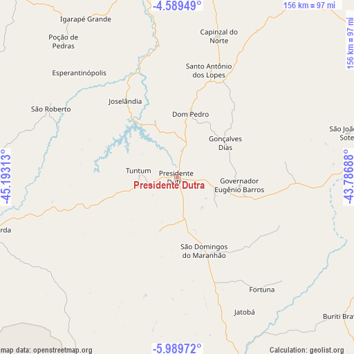
Presidente Dutra GPS coordinates[2]
5° 17' 24" South, 44° 29' 24" West
| Map corner | latitude | longitude |
|---|---|---|
| Upper-left | -4.58949°, | -45.19313° |
| Center: | -5.29°, | -44.49° |
| Lower-right: | -5.98972°, | -43.78688° |
| Map W x H: | 155.7×155.7 km | = 96.7×96.7mi |
| max Lat: | 2.81972° ⇑12.2% North |
| Presidente Dutra: | -5.29° |
| min Lat: | ⇓87.8% South -33.69111° |
| min Long | Presidente Dutr | max Long |
| -72.89583° | -44.49° | -32.41083° |
| W 53.3%⇐ | ⇒46.7% E |
Elevation
Elevation of Presidente Dutra is 108 m = 354 ft, and this is 272.9 m = 895 ft below average elevation for this country.
| Max E: |
1603 m = 5259 ft | 71.7% |
| Avg. | 380.9 m = 1250 ft | |
| Presidente Dutra | 108 m = 354 ft | |
Min E: |
0 m = 0 ft | 28.3% |
See also: Brazil elevation on elevation.city.
Geographical zone
Presidente Dutra is located in South Torrid zone (between Equator and Tropic of Capricorn). Distance of Equator is 588.2 km =365.5 mi to North.| Distance of | km | miles | from Presidente Dutra |
|---|---|---|---|
| Equator | 588.2 | 365.5 | to North |
| Tropic Capricorn | 2017.7 | 1253.7 | to South |
| Antarctic Circle | 6813 | 4233.4 | to South |
| South Pole | 9418.9 | 5852.6 | to South |


Nearby cities:
15 places around Presidente Dutra: (largest is in red/bold)
• Bacabal
115.9 km =72 mi,  343°
343°
• Barra do Corda
86.8 km =53.9 mi,  253°
253°
• Buriti Bravo
94.8 km =58.9 mi,  129°
129°
• Codó
114.4 km =71.1 mi,  35°
35°
• Colinas
86 km =53.4 mi,  161°
161°
• Dom Pedro
28.6 km =17.8 mi,  11°
11°
• Esperantinópolis
52.9 km =32.9 mi,  332°
332°
• Fortuna
61.5 km =38.2 mi,  143°
143°
• Lago dos Rodrigues
92.8 km =57.7 mi,  324°
324°
• Mirador
121 km =75.2 mi,  173°
173°
• Passagem Franca
126.1 km =78.4 mi, 141°
• Paulo Ramos
125.6 km =78 mi, 318°
• Poção de Pedras
80 km =49.7 mi, 330°
• São Domingos do Maranhão
33.8 km =21 mi, 159°
• Tuntum
17.9 km =11.1 mi,  281°
281°
Sources, notices
• [Note1] Compared only with cities in Brazil existing in our database
• [Src1] Map data: © OpenStreetMap contributors (CC-BY-SA)
• [Src2] Other city data from geonames.org with taken over terms of usage.
• [Src3] Geographical zone / Annual Mean Temperature by Robert A. Rohde @ Wikipedia
