São Vicente geodata
São Vicente (São Paulo) is a populated place; located in Brazil in America/Sao_Paulo (GMT-3) time zone. With population of 324,457 people, there are 64 cities with bigger population in this country. Compared to other cities in Brazil, 85.8% of cities are located further ↑North; 54.3% of cities are located further →East and 94.3% of cities have higher elevation than São Vicente. Note1


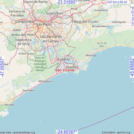
São Vicente GPS coordinates[2]
23° 57' 47.016" South, 46° 23' 30.984" West
| Map corner | latitude | longitude |
|---|---|---|
| Upper-left | -23.31895°, | -47.09507° |
| Center: | -23.96306°, | -46.39194° |
| Lower-right: | -24.60397°, | -45.68882° |
| Map W x H: | 142.9×142.9 km | = 88.8×88.8mi |
| max Lat: | 2.81972° ⇑85.8% North |
| São Vicente: | -23.96306° |
| min Lat: | ⇓14.2% South -33.69111° |
| min Long | São Vicente | max Long |
| -72.89583° | -46.39194° | -32.41083° |
| W 45.7%⇐ | ⇒54.3% E |
Elevation
Elevation of São Vicente is 10 m = 33 ft, and this is 370.9 m = 1217 ft below average elevation for this country.
| Max E: |
1603 m = 5259 ft | 94.3% |
| Avg. | 380.9 m = 1250 ft | |
| São Vicente | 10 m = 33 ft | |
Min E: |
0 m = 0 ft | 5.7% |
See also: São Vicente elevation on elevation.city.
Geographical zone
São Vicente is located in South temperate zone (between Tropic of Capricorn and the Antarctic Circle). Distance of this Southern Tropic circle is 58.5 km =36.4 mi to North.| Distance of | km | miles | from São Vicente |
|---|---|---|---|
| Equator | 2664.4 | 1655.6 | to North |
| Tropic Capricorn | 58.5 | 36.4 | to North |
| Antarctic Circle | 4736.7 | 2943.2 | to South |
| South Pole | 7342.6 | 4562.5 | to South |


Nearby cities:
15 places around São Vicente: (largest is in red/bold)
• Bertioga
28.4 km =17.6 mi,  64°
64°
• Cubatão
8.3 km =5.2 mi,  335°
335°
• Diadema
38.7 km =24 mi,  322°
322°
• Embu Guaçu
45.1 km =28 mi,  288°
288°
• Ferraz de Vasconcelos
47 km =29.2 mi,  2°
2°
• Guarujá
14.2 km =8.8 mi,  103°
103°
• Mauá
33.6 km =20.9 mi,  347°
347°
• Mongaguá
27.4 km =17 mi,  238°
238°
• Praia Grande
4.9 km =3 mi,  193°
193°
• Ribeirão Pires
28.2 km =17.5 mi,  355°
355°
• Rio Grande da Serra
24.3 km =15.1 mi, 358°
• Santo André
36.4 km =22.6 mi, 335°
• Santos
5.9 km =3.7 mi,  87°
87°
• São Bernardo do Campo
34.7 km =21.6 mi,  329°
329°
• São Caetano do Sul
41.1 km =25.5 mi, 336°
Sources, notices
• [Note1] Compared only with cities in Brazil existing in our database
• [Src1] Map data: © OpenStreetMap contributors (CC-BY-SA)
• [Src2] Other city data from geonames.org with taken over terms of usage.
• [Src3] Geographical zone / Annual Mean Temperature by Robert A. Rohde @ Wikipedia
