Konstantinovo geodata
Konstantinovo (Vitebsk) is a populated place; located in Belarus in Europe/Minsk (GMT+3) time zone. With population of 3,800 people, there are 150 cities with bigger population in this country. Compared to other cities in Belarus, 88.8% of cities are located further ↓South; 72% of cities are located further ←West and 62.5% of cities have lower elevation than Konstantinovo. Note1


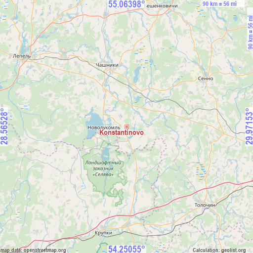
Konstantinovo GPS coordinates[2]
54° 39' 33.48" North, 29° 16' 6.24" East
| Map corner | latitude | longitude |
|---|---|---|
| Upper-left | 55.06398°, | 28.56528° |
| Center: | 54.6593°, | 29.2684° |
| Lower-right: | 54.25055°, | 29.97153° |
| Map W x H: | 90.4×90.4 km | = 56.2×56.2mi |
| max Lat: | 56.0147° ⇑11.2% North |
| Konstantinovo: | 54.6593° |
| min Lat: | ⇓88.8% South 51.75° |
| min Long | Konstantinovo | max Long |
| 23.37083° | 29.2684° | 32.578° |
| W 72%⇐ | ⇒28% E |
Elevation
Elevation of Konstantinovo is 176 m = 577 ft, and this is 7.4 m = 24 ft above average elevation for this country.
| Max E: |
309 m = 1014 ft | 37.5% |
| Konstantinovo | 176 m 577 ft | |
| Avg. | 168.6 m = 553 ft | |
Min E: |
108 m = 354 ft | 62.5% |
See also: Belarus elevation on elevation.city.
Geographical zone
Konstantinovo is located in North temperate zone (between Tropic of Cancer and the Arctic Circle). Distance of this North polar circle is 1323.6 km =822.4 mi to North.| Distance of | km | miles | from Konstantinovo |
|---|---|---|---|
| North Pole | 3929.5 | 2441.7 | to North |
| Arctic Circle | 1323.6 | 822.4 | to North |
| Tropic Cancer | 3471.6 | 2157.2 | to South |
| Equator | 6077.5 | 3776.4 | to South |


Nearby cities:
15 places around Konstantinovo: (largest is in red/bold)
• Barysaw
68.8 km =42.8 mi,  225°
225°
• Bobr
35.3 km =21.9 mi,  179°
179°
• Chashniki
23.2 km =14.4 mi,  342°
342°
• Kholopenichi
25.5 km =15.8 mi, 231°
• Kokhanava
52.2 km =32.4 mi,  114°
114°
• Komsyenichy
69 km =42.9 mi,  145°
145°
• Kruhlaye
56.9 km =35.4 mi,  143°
143°
• Krupki
38.9 km =24.2 mi,  192°
192°
• Loshnitsa
53.3 km =33.1 mi,  217°
217°
• Lyepyel’
44.1 km =27.4 mi,  304°
304°
• Myezhava
67 km =41.6 mi,  93°
93°
• Novolukoml’
7.6 km =4.7 mi,  272°
272°
• Smolyany
52.1 km =32.4 mi,  97°
97°
• Syanno
32.9 km =20.4 mi,  59°
59°
• Talachyn
39.2 km =24.4 mi, 135°
Sources, notices
• [Note1] Compared only with cities in Belarus existing in our database
• [Src1] Map data: © OpenStreetMap contributors (CC-BY-SA)
• [Src2] Other city data from geonames.org with taken over terms of usage.
• [Src3] Geographical zone / Annual Mean Temperature by Robert A. Rohde @ Wikipedia
