Cornwall geodata
Cornwall (Ontario) is a populated place; located in Canada in America/Toronto (GMT-4) time zone. With population of 48,821 people, there are 104 cities with bigger population in this country. Compared to other cities in Canada, 84.7% of cities are located further ↑North; 58.7% of cities are located further ←West and 68.9% of cities have higher elevation than Cornwall. Note1


Cornwall GPS coordinates[2]
45° 1' 5.124" North, 74° 43' 41.34" West
| Map corner | latitude | longitude |
|---|---|---|
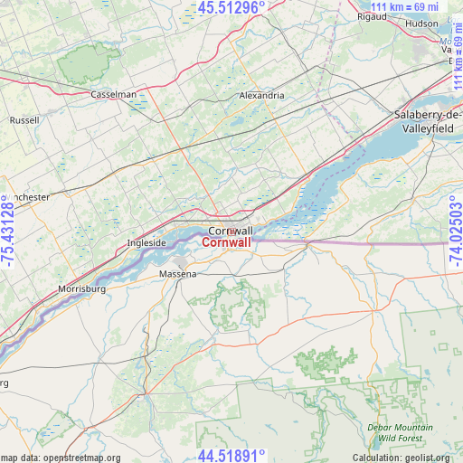
| Upper-left | 45.51296°, | -75.43128° |
| Center: | 45.01809°, | -74.72815° |
| Lower-right: | 44.51891°, | -74.02503° |
| Map W x H: | 110.5×110.5 km | = 68.7×68.7mi |
| max Lat: | 73.03752° ⇑84.7% North |
| Cornwall: | 45.01809° |
| min Lat: | ⇓15.3% South 42.05009° |
| min Long | Cornwall | max Long |
| -139.43328° | -74.72815° | -52.70931° |
| W 58.7%⇐ | ⇒41.3% E |
Elevation
Elevation of Cornwall is 59 m = 194 ft, and this is 195.4 m = 641 ft below average elevation for this country.
| Max E: |
1518 m = 4980 ft | 68.9% |
| Avg. | 254.4 m = 835 ft | |
| Cornwall | 59 m = 194 ft | |
Min E: |
-2 m = -7 ft | 31.1% |
See also: Cornwall elevation on elevation.city.
Geographical zone
Cornwall is located in North temperate zone (between Tropic of Cancer and the Arctic Circle). Distance of this North polar circle is 2395.6 km =1488.6 mi to North.| Distance of | km | miles | from Cornwall |
|---|---|---|---|
| North Pole | 5001.5 | 3107.8 | to North |
| Arctic Circle | 2395.6 | 1488.6 | to North |
| Tropic Cancer | 2399.6 | 1491 | to South |
| Equator | 5005.5 | 3110.3 | to South |


Nearby cities:
15 places around Cornwall: (largest is in red/bold)
• Bourget
56.7 km =35.2 mi,  324°
324°
• Casselman
43.3 km =26.9 mi, 320°
• Coteau-du-Lac
53 km =32.9 mi,  53°
53°
• Huntingdon
44.8 km =27.8 mi,  80°
80°
• Les Coteaux
48.8 km =30.3 mi, 52°
• Limoges
53.8 km =33.4 mi,  310°
310°
• Morrisburg
38.1 km =23.7 mi,  249°
249°
• Ormstown
58.7 km =36.5 mi, 77°
• Plantagenet
60.9 km =37.8 mi,  340°
340°
• Russell
56.3 km =35 mi,  297°
297°
• Saint-Polycarpe
46 km =28.6 mi, 47°
• Saint-Zotique
45.6 km =28.3 mi,  55°
55°
• Salaberry-de-Valleyfield
53.4 km =33.2 mi, 61°
• Très-Saint-Rédempteur
53.5 km =33.2 mi,  30°
30°
• Winchester
49.3 km =30.6 mi,  278°
278°
Sources, notices
• [Note1] Compared only with cities in Canada existing in our database
• [Src1] Map data: © OpenStreetMap contributors (CC-BY-SA)
• [Src2] Other city data from geonames.org with taken over terms of usage.
• [Src3] Geographical zone / Annual Mean Temperature by Robert A. Rohde @ Wikipedia
