Sargans geodata
Sargans (Saint Gallen) is a seat of a second-order administrative division; located in Switzerland in Europe/Zurich (GMT+2) time zone. With population of 5,045 people, there are 339 cities with bigger population in this country. Compared to other cities in Switzerland, 61.8% of cities are located further ↑North; 95.7% of cities are located further ←West and 52.8% of cities have lower elevation than Sargans. Note1


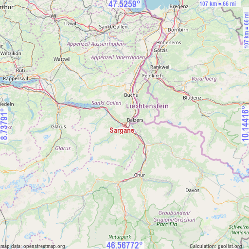
Sargans GPS coordinates[2]
47° 2' 56.256" North, 9° 26' 27.708" East
| Map corner | latitude | longitude |
|---|---|---|
| Upper-left | 47.5259°, | 8.73791° |
| Center: | 47.04896°, | 9.44103° |
| Lower-right: | 46.56772°, | 10.14416° |
| Map W x H: | 106.5×106.5 km | = 66.2×66.2mi |
| max Lat: | 47.76737° ⇑61.8% North |
| Sargans: | 47.04896° |
| min Lat: | ⇓38.2% South 45.83203° |
| min Long | Sargans | max Long |
| 5.97153° | 9.44103° | 10.44624° |
| W 95.7%⇐ | ⇒4.3% E |
Elevation
Elevation of Sargans is 487 m = 1598 ft, and this is 71.2 m = 234 ft below average elevation for this country.
| Max E: |
1845 m = 6053 ft | 47.2% |
| Avg. | 558.2 m = 1831 ft | |
| Sargans | 487 m = 1598 ft | |
Min E: |
197 m = 646 ft | 52.8% |
See also: Switzerland elevation on elevation.city.
Geographical zone
Sargans is located in North temperate zone (between Tropic of Cancer and the Arctic Circle). Distance of this North polar circle is 2169.8 km =1348.3 mi to North.| Distance of | km | miles | from Sargans |
|---|---|---|---|
| North Pole | 4775.7 | 2967.5 | to North |
| Arctic Circle | 2169.8 | 1348.3 | to North |
| Tropic Cancer | 2625.4 | 1631.3 | to South |
| Equator | 5231.4 | 3250.6 | to South |


Nearby cities:
15 places around Sargans: (largest is in red/bold)
• Bad Ragaz
6.7 km =4.2 mi,  135°
135°
• Buchs
13.5 km =8.4 mi,  11°
11°
• Flums
8.7 km =5.4 mi,  301°
301°
• Fläsch
6.1 km =3.8 mi,  115°
115°
• Grabs
14.8 km =9.2 mi,  0°
0°
• Igis
15.2 km =9.4 mi, 139°
• Jenins
10.2 km =6.3 mi, 121°
• Landquart
14.6 km =9.1 mi, 139°
• Maienfeld
8.4 km =5.2 mi,  125°
125°
• Malans
12.7 km =7.9 mi, 126°
• Mastrils
11.8 km =7.3 mi, 138°
• Röfels
9 km =5.6 mi, 118°
• Sevelen
8.8 km =5.5 mi,  22°
22°
• Untervaz
15.2 km =9.4 mi,  152°
152°
• Walenstadt
12.9 km =8 mi,  310°
310°
Sources, notices
• [Note1] Compared only with cities in Switzerland existing in our database
• [Src1] Map data: © OpenStreetMap contributors (CC-BY-SA)
• [Src2] Other city data from geonames.org with taken over terms of usage.
• [Src3] Geographical zone / Annual Mean Temperature by Robert A. Rohde @ Wikipedia
