Oetwil geodata
Oetwil (Zurich) is a populated place; located in Switzerland in Europe/Zurich (GMT+2) time zone. With population of 4,925 people, there are 350 cities with bigger population in this country. Compared to other cities in Switzerland, 54.3% of cities are located further ↓South; 76.1% of cities are located further ←West and 63.4% of cities have lower elevation than Oetwil. Note1


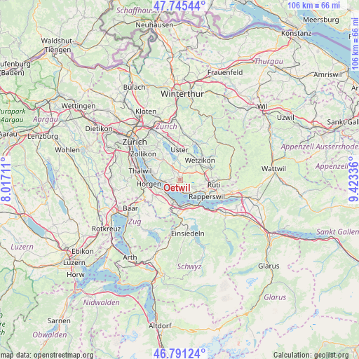
Oetwil GPS coordinates[2]
47° 16' 13.764" North, 8° 43' 12.828" East
| Map corner | latitude | longitude |
|---|---|---|
| Upper-left | 47.74544°, | 8.01711° |
| Center: | 47.27049°, | 8.72023° |
| Lower-right: | 46.79124°, | 9.42336° |
| Map W x H: | 106.1×106.1 km | = 65.9×65.9mi |
| max Lat: | 47.76737° ⇑45.7% North |
| Oetwil: | 47.27049° |
| min Lat: | ⇓54.3% South 45.83203° |
| min Long | Oetwil | max Long |
| 5.97153° | 8.72023° | 10.44624° |
| W 76.1%⇐ | ⇒23.9% E |
Elevation
Elevation of Oetwil is 539 m = 1768 ft, and this is 19.2 m = 63 ft below average elevation for this country.
| Max E: |
1845 m = 6053 ft | 36.6% |
| Avg. | 558.2 m = 1831 ft | |
| Oetwil | 539 m = 1768 ft | |
Min E: |
197 m = 646 ft | 63.4% |
See also: Switzerland elevation on elevation.city.
Geographical zone
Oetwil is located in North temperate zone (between Tropic of Cancer and the Arctic Circle). Distance of this North polar circle is 2145.2 km =1333 mi to North.| Distance of | km | miles | from Oetwil |
|---|---|---|---|
| North Pole | 4751.1 | 2952.2 | to North |
| Arctic Circle | 2145.2 | 1333 | to North |
| Tropic Cancer | 2650.1 | 1646.7 | to South |
| Equator | 5256 | 3265.9 | to South |


Nearby cities:
15 places around Oetwil: (largest is in red/bold)
• Binzikon
3 km =1.9 mi,  77°
77°
• Dorf
3.7 km =2.3 mi,  161°
161°
• Egg
4 km =2.5 mi,  325°
325°
• Esslingen
1.6 km =1 mi, 332°
• Kehlhof
4.2 km =2.6 mi, 160°
• Männedorf
2.2 km =1.4 mi,  226°
226°
• Männedorf / Ausserfeld
2.9 km =1.8 mi,  201°
201°
• Männedorf / Dorfkern
2.7 km =1.7 mi, 233°
• Mönchaltorf / Dorf
3.7 km =2.3 mi,  2°
2°
• Oetwil / Vogelsang
0.7 km =0.4 mi,  130°
130°
• Oetwil / Zelgliacker
0.3 km =0.2 mi,  5°
5°
• Stäfa
3.1 km =1.9 mi,  175°
175°
• Uetikon
3.2 km =2 mi,  257°
257°
• Uetikon / Chlidorf
2.9 km =1.8 mi, 256°
• Uetikon / Grossdorf
3.2 km =2 mi, 262°
Sources, notices
• [Note1] Compared only with cities in Switzerland existing in our database
• [Src1] Map data: © OpenStreetMap contributors (CC-BY-SA)
• [Src2] Other city data from geonames.org with taken over terms of usage.
• [Src3] Geographical zone / Annual Mean Temperature by Robert A. Rohde @ Wikipedia
