Neuchâtel geodata
Neuchâtel is a seat of a first-order administrative division; located in Switzerland in Europe/Zurich (GMT+2) time zone. With population of 31,270 people, there are 22 cities with bigger population in this country. Compared to other cities in Switzerland, 64.9% of cities are located further ↑North; 88.9% of cities are located further →East and 67.9% of cities have higher elevation than Neuchâtel. Note1


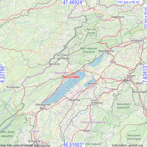
Neuchâtel GPS coordinates[2]
46° 59' 30.444" North, 6° 55' 51.6" East
| Map corner | latitude | longitude |
|---|---|---|
| Upper-left | 47.46924°, | 6.22788° |
| Center: | 46.99179°, | 6.931° |
| Lower-right: | 46.51003°, | 7.63413° |
| Map W x H: | 106.7×106.7 km | = 66.3×66.3mi |
| max Lat: | 47.76737° ⇑64.9% North |
| Neuchâtel: | 46.99179° |
| min Lat: | ⇓35.1% South 45.83203° |
| min Long | Neuchâtel | max Long |
| 5.97153° | 6.931° | 10.44624° |
| W 11.1%⇐ | ⇒88.9% E |
Elevation
Elevation of Neuchâtel is 441 m = 1447 ft, and this is 117.2 m = 385 ft below average elevation for this country.
| Max E: |
1845 m = 6053 ft | 67.9% |
| Avg. | 558.2 m = 1831 ft | |
| Neuchâtel | 441 m = 1447 ft | |
Min E: |
197 m = 646 ft | 32.1% |
See also: Switzerland elevation on elevation.city.
Geographical zone
Neuchâtel is located in North temperate zone (between Tropic of Cancer and the Arctic Circle). Distance of this North polar circle is 2176.2 km =1352.2 mi to North.| Distance of | km | miles | from Neuchâtel |
|---|---|---|---|
| North Pole | 4782.1 | 2971.5 | to North |
| Arctic Circle | 2176.2 | 1352.2 | to North |
| Tropic Cancer | 2619.1 | 1627.4 | to South |
| Equator | 5225 | 3246.7 | to South |


Nearby cities:
15 places around Neuchâtel: (largest is in red/bold)
• Auvernier
4.3 km =2.7 mi,  245°
245°
• Boudevilliers
5.1 km =3.2 mi,  321°
321°
• Boudry
8.5 km =5.3 mi,  236°
236°
• Cernier
7.8 km =4.8 mi,  342°
342°
• Chézard-Saint-Martin
8.3 km =5.2 mi,  1°
1°
• Cornaux
8.5 km =5.3 mi,  51°
51°
• Cortaillod
8.5 km =5.3 mi,  230°
230°
• Cudrefin
7.8 km =4.8 mi,  121°
121°
• Dombresson
9.2 km =5.7 mi,  13°
13°
• Fontainemelon
7.8 km =4.8 mi,  334°
334°
• Grand-Savagnier
6.8 km =4.2 mi,  15°
15°
• Les Geneveys-sur-Coffrane
6.6 km =4.1 mi,  293°
293°
• Marin-Epagnier
5.6 km =3.5 mi,  68°
68°
• Peseux
3.2 km =2 mi,  260°
260°
• Saint-Blaise
5.1 km =3.2 mi,  59°
59°
Sources, notices
• [Note1] Compared only with cities in Switzerland existing in our database
• [Src1] Map data: © OpenStreetMap contributors (CC-BY-SA)
• [Src2] Other city data from geonames.org with taken over terms of usage.
• [Src3] Geographical zone / Annual Mean Temperature by Robert A. Rohde @ Wikipedia
