Gbéléban geodata
Gbéléban (Denguélé) is a seat of a third-order administrative division; located in Ivory Coast in Africa/Abidjan (GMT+0) time zone. In our database, there are 63 cities with bigger population. Compared to other cities in Ivory Coast, 91.5% of cities are located further ↓South; 96.6% of cities are located further →East and 94% of cities have lower elevation than Gbéléban. Note1


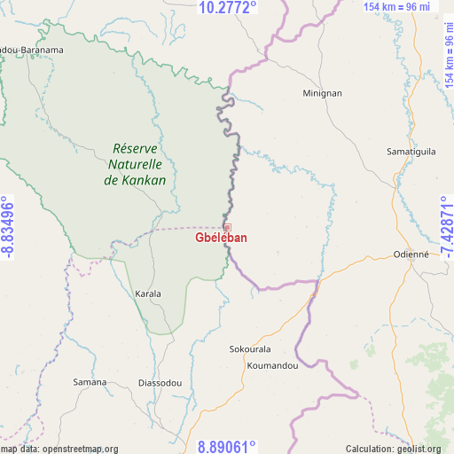
Gbéléban GPS coordinates[2]
9° 35' 4.596" North, 8° 7' 54.588" West
| Map corner | latitude | longitude |
|---|---|---|
| Upper-left | 10.2772°, | -8.83496° |
| Center: | 9.58461°, | -8.13183° |
| Lower-right: | 8.89061°, | -7.42871° |
| Map W x H: | 154.2×154.2 km | = 95.8×95.8mi |
| max Lat: | 10.48115° ⇑8.5% North |
| Gbéléban: | 9.58461° |
| min Lat: | ⇓91.5% South 4.42295° |
| min Long | Gbéléban | max Long |
| -8.42592° | -8.13183° | -2.80003° |
| W 3.4%⇐ | ⇒96.6% E |
Elevation
Elevation of Gbéléban is 422 m = 1385 ft, and this is 197.7 m = 649 ft above average elevation for this country.
| Max E: |
556 m = 1824 ft | 6% |
| Gbéléban | 422 m 1385 ft | |
| Avg. | 224.3 m = 736 ft | |
Min E: |
7 m = 23 ft | 94% |
See also: Ivory Coast elevation on elevation.city.
Geographical zone
Gbéléban is located in North Torrid zone (between Equator and Tropic of Cancer). Distance of Equator is 1065.7 km =662.2 mi to South.| Distance of | km | miles | from Gbéléban |
|---|---|---|---|
| North Pole | 8941.4 | 5555.9 | to North |
| Arctic Circle | 6335.5 | 3936.7 | to North |
| Tropic Cancer | 1540.2 | 957 | to North |
| Equator | 1065.7 | 662.2 | to South |


Nearby cities:
15 places around Gbéléban: (largest is in red/bold)
• Biankouma
213 km =132.4 mi,  164°
164°
• Boundiali
180.5 km =112.2 mi,  92°
92°
• Kani
208 km =129.2 mi,  126°
126°
• Kaniasso
72.5 km =45 mi,  69°
69°
• Koro
136 km =84.5 mi,  147°
147°
• Kouto
191.8 km =119.2 mi,  79°
79°
• Madinani
130.5 km =81.1 mi, 88°
• Minignan
56.2 km =34.9 mi,  35°
35°
• Odienné
62.9 km =39.1 mi,  98°
98°
• Ouaninou
152.6 km =94.8 mi,  168°
168°
• Samatiguila
67.8 km =42.1 mi, 67°
• Sipilou
191.3 km =118.9 mi,  178°
178°
• Séguélon
113.7 km =70.6 mi, 102°
• Tengréla
213.5 km =132.7 mi,  62°
62°
• Touba
152.8 km =94.9 mi, 161°
Sources, notices
• [Note1] Compared only with cities in Ivory Coast existing in our database
• [Src1] Map data: © OpenStreetMap contributors (CC-BY-SA)
• [Src2] Other city data from geonames.org with taken over terms of usage.
• [Src3] Geographical zone / Annual Mean Temperature by Robert A. Rohde @ Wikipedia
