Yunyang geodata
Yunyang (Henan) is a populated place; located in China in Asia/Shanghai (GMT+8) time zone. With population of 73,922 people, there are 579 cities with bigger population in this country. Compared to other cities in China, 67.9% of cities are located further ↓South; 59% of cities are located further →East and 54.5% of cities have lower elevation than Yunyang. Note1


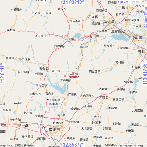
Yunyang GPS coordinates[2]
33° 26' 50.748" North, 112° 42' 51.192" East
| Map corner | latitude | longitude |
|---|---|---|
| Upper-left | 34.03212°, | 112.0111° |
| Center: | 33.44743°, | 112.71422° |
| Lower-right: | 32.85877°, | 113.41735° |
| Map W x H: | 130.5×130.5 km | = 81.1×81.1mi |
| max Lat: | 53.31946° ⇑32.1% North |
| Yunyang: | 33.44743° |
| min Lat: | ⇓67.9% South 18.22056° |
| min Long | Yunyang | max Long |
| 75.07348° | 112.71422° | 134.28917° |
| W 41%⇐ | ⇒59% E |
Elevation
Elevation of Yunyang is 202 m = 663 ft, and this is 282.8 m = 928 ft below average elevation for this country.
| Max E: |
5622 m = 18445 ft | 45.5% |
| Avg. | 484.8 m = 1591 ft | |
| Yunyang | 202 m = 663 ft | |
Min E: |
-3 m = -10 ft | 54.5% |
See also: Yunyang elevation on elevation.city.
Geographical zone
Yunyang is located in North temperate zone (between Tropic of Cancer and the Arctic Circle). Distance of this Northern Tropic circle is 1113.1 km =691.6 mi to South.| Distance of | km | miles | from Yunyang |
|---|---|---|---|
| North Pole | 6288.1 | 3907.2 | to North |
| Arctic Circle | 3682.2 | 2288 | to North |
| Tropic Cancer | 1113.1 | 691.6 | to South |
| Equator | 3719 | 2310.9 | to South |


Nearby cities:
15 places around Yunyang: (largest is in red/bold)
• Chengjiao
25.8 km =16 mi,  279°
279°
• Guangyang
18.2 km =11.3 mi,  183°
183°
• Huanghou
5.4 km =3.4 mi,  47°
47°
• Huangludian
22.5 km =14 mi,  198°
198°
• Jizhong
21.3 km =13.2 mi,  351°
351°
• Liuhe
16.6 km =10.3 mi,  151°
151°
• Liushan
15.9 km =9.9 mi, 280°
• Nanzhao Chengguanzhen
27.1 km =16.8 mi, 280°
• Qinghe
28.2 km =17.5 mi,  140°
140°
• Shimen
27.7 km =17.2 mi,  230°
230°
• Sikeshu
27.1 km =16.8 mi,  333°
333°
• Silidian
18.8 km =11.7 mi,  83°
83°
• Taishanmiao
8.7 km =5.4 mi, 229°
• Xiongbei
25.6 km =15.9 mi,  20°
20°
• Yuandianhui
22.9 km =14.2 mi, 148°
Sources, notices
• [Note1] Compared only with cities in China existing in our database
• [Src1] Map data: © OpenStreetMap contributors (CC-BY-SA)
• [Src2] Other city data from geonames.org with taken over terms of usage.
• [Src3] Geographical zone / Annual Mean Temperature by Robert A. Rohde @ Wikipedia
