Yangzhou geodata
Yangzhou (Jiangxi) is a seat of a fourth-order administrative division; located in China in Asia/Shanghai (GMT+8) time zone. In our database, there are 1268 cities with bigger population. Compared to other cities in China, 63.6% of cities are located further ↑North; 56.3% of cities are located further ←West and 58.4% of cities have higher elevation than Yangzhou. Note1


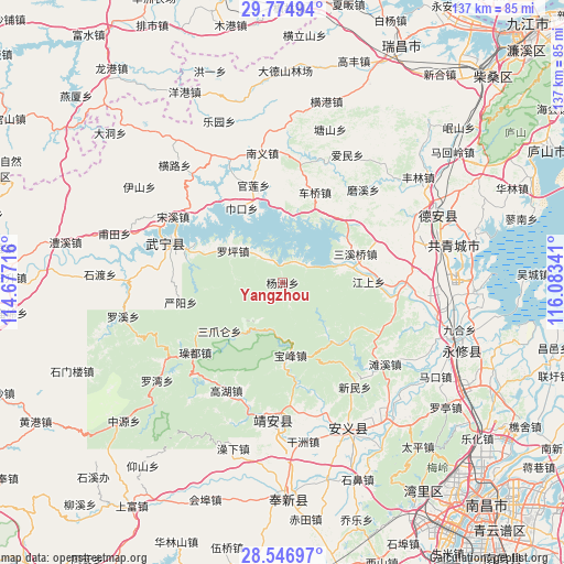
Yangzhou GPS coordinates[2]
29° 9' 46.044" North, 115° 22' 49.008" East
| Map corner | latitude | longitude |
|---|---|---|
| Upper-left | 29.77494°, | 114.67716° |
| Center: | 29.16279°, | 115.38028° |
| Lower-right: | 28.54697°, | 116.08341° |
| Map W x H: | 136.5×136.5 km | = 84.8×84.8mi |
| max Lat: | 53.31946° ⇑63.6% North |
| Yangzhou: | 29.16279° |
| min Lat: | ⇓36.4% South 18.22056° |
| min Long | Yangzhou | max Long |
| 75.07348° | 115.38028° | 134.28917° |
| W 56.3%⇐ | ⇒43.7% E |
Elevation
Elevation of Yangzhou is 109 m = 358 ft, and this is 375.8 m = 1233 ft below average elevation for this country.
| Max E: |
5622 m = 18445 ft | 58.4% |
| Avg. | 484.8 m = 1591 ft | |
| Yangzhou | 109 m = 358 ft | |
Min E: |
-3 m = -10 ft | 41.6% |
See also: China elevation on elevation.city.
Geographical zone
Yangzhou is located in North temperate zone (between Tropic of Cancer and the Arctic Circle). Distance of this Northern Tropic circle is 636.7 km =395.6 mi to South.| Distance of | km | miles | from Yangzhou |
|---|---|---|---|
| North Pole | 6764.5 | 4203.3 | to North |
| Arctic Circle | 4158.6 | 2584 | to North |
| Tropic Cancer | 636.7 | 395.6 | to South |
| Equator | 3242.6 | 2014.9 | to South |


Nearby cities:
15 places around Yangzhou: (largest is in red/bold)
• Baicha
21.3 km =13.2 mi,  83°
83°
• Baofeng
17.5 km =10.9 mi,  172°
172°
• Cengjia
22.1 km =13.7 mi,  223°
223°
• Cheqiao
23.4 km =14.5 mi,  19°
19°
• Guanlian
24.5 km =15.2 mi,  344°
344°
• Jiangshang
20.8 km =12.9 mi,  89°
89°
• Luoping
14.2 km =8.8 mi,  302°
302°
• Meitang
25.7 km =16 mi,  69°
69°
• Moxi
29.8 km =18.5 mi,  40°
40°
• Qiujin
29 km =18 mi, 88°
• Sanzhaolun
19.1 km =11.9 mi,  234°
234°
• Xinning
28.7 km =17.8 mi,  287°
287°
• Yanyang
25.3 km =15.7 mi,  259°
259°
• Zhelin
11.5 km =7.1 mi,  46°
46°
• Zhelin
13.3 km =8.3 mi, 66°
Sources, notices
• [Note1] Compared only with cities in China existing in our database
• [Src1] Map data: © OpenStreetMap contributors (CC-BY-SA)
• [Src2] Other city data from geonames.org with taken over terms of usage.
• [Src3] Geographical zone / Annual Mean Temperature by Robert A. Rohde @ Wikipedia
