Xuedian geodata
Xuedian (Henan) is a seat of a fourth-order administrative division; located in China in Asia/Shanghai (GMT+8) time zone. In our database, there are 1268 cities with bigger population. Compared to other cities in China, 70.1% of cities are located further ↓South; 57% of cities are located further →East and 53.5% of cities have higher elevation than Xuedian. Note1


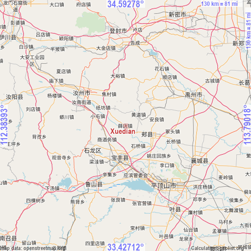
Xuedian GPS coordinates[2]
34° 0' 43.02" North, 113° 5' 13.38" East
| Map corner | latitude | longitude |
|---|---|---|
| Upper-left | 34.59278°, | 112.38393° |
| Center: | 34.01195°, | 113.08705° |
| Lower-right: | 33.42712°, | 113.79018° |
| Map W x H: | 129.6×129.6 km | = 80.5×80.5mi |
| max Lat: | 53.31946° ⇑29.9% North |
| Xuedian: | 34.01195° |
| min Lat: | ⇓70.1% South 18.22056° |
| min Long | Xuedian | max Long |
| 75.07348° | 113.08705° | 134.28917° |
| W 43%⇐ | ⇒57% E |
Elevation
Elevation of Xuedian is 140 m = 459 ft, and this is 344.8 m = 1131 ft below average elevation for this country.
| Max E: |
5622 m = 18445 ft | 53.5% |
| Avg. | 484.8 m = 1591 ft | |
| Xuedian | 140 m = 459 ft | |
Min E: |
-3 m = -10 ft | 46.5% |
See also: China elevation on elevation.city.
Geographical zone
Xuedian is located in North temperate zone (between Tropic of Cancer and the Arctic Circle). Distance of this Northern Tropic circle is 1175.9 km =730.7 mi to South.| Distance of | km | miles | from Xuedian |
|---|---|---|---|
| North Pole | 6225.3 | 3868.2 | to North |
| Arctic Circle | 3619.4 | 2249 | to North |
| Tropic Cancer | 1175.9 | 730.7 | to South |
| Equator | 3781.8 | 2349.9 | to South |


Nearby cities:
15 places around Xuedian: (largest is in red/bold)
• Anliang
16.6 km =10.3 mi,  77°
77°
• Baofeng Chengguanzhen
15.9 km =9.9 mi,  187°
187°
• Ciba
8 km =5 mi,  337°
337°
• Daying
20.6 km =12.8 mi,  246°
246°
• Guangkuotiandi
8.8 km =5.5 mi,  124°
124°
• Huangdao
9.1 km =5.7 mi,  46°
46°
• Jiaxian
12.2 km =7.6 mi,  113°
113°
• Naodian
20.9 km =13 mi,  146°
146°
• Qianying
16.8 km =10.4 mi,  257°
257°
• Shangjiuwu
12.3 km =7.6 mi,  235°
235°
• Shiqiao
12 km =7.5 mi, 147°
• Xiaoqi
10.9 km =6.8 mi, 192°
• Yangzhuang
20.2 km =12.6 mi, 193°
• Zhangbaqiao
19.7 km =12.2 mi,  216°
216°
• Zhouzhuang
17 km =10.6 mi,  170°
170°
Sources, notices
• [Note1] Compared only with cities in China existing in our database
• [Src1] Map data: © OpenStreetMap contributors (CC-BY-SA)
• [Src2] Other city data from geonames.org with taken over terms of usage.
• [Src3] Geographical zone / Annual Mean Temperature by Robert A. Rohde @ Wikipedia
