Xuanfeng geodata
Xuanfeng (Jiangxi) is a seat of a fourth-order administrative division; located in China in Asia/Shanghai (GMT+8) time zone. In our database, there are 1268 cities with bigger population. Compared to other cities in China, 75.8% of cities are located further ↑North; 50.6% of cities are located further →East and 56.6% of cities have higher elevation than Xuanfeng. Note1


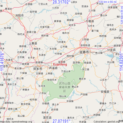
Xuanfeng GPS coordinates[2]
27° 41' 46.464" North, 114° 7' 11.568" East
| Map corner | latitude | longitude |
|---|---|---|
| Upper-left | 28.31702°, | 113.41676° |
| Center: | 27.69624°, | 114.11988° |
| Lower-right: | 27.07191°, | 114.82301° |
| Map W x H: | 138.4×138.4 km | = 86×86mi |
| max Lat: | 53.31946° ⇑75.8% North |
| Xuanfeng: | 27.69624° |
| min Lat: | ⇓24.2% South 18.22056° |
| min Long | Xuanfeng | max Long |
| 75.07348° | 114.11988° | 134.28917° |
| W 49.4%⇐ | ⇒50.6% E |
Elevation
Elevation of Xuanfeng is 120 m = 394 ft, and this is 364.8 m = 1197 ft below average elevation for this country.
| Max E: |
5622 m = 18445 ft | 56.6% |
| Avg. | 484.8 m = 1591 ft | |
| Xuanfeng | 120 m = 394 ft | |
Min E: |
-3 m = -10 ft | 43.4% |
See also: China elevation on elevation.city.
Geographical zone
Xuanfeng is located in North temperate zone (between Tropic of Cancer and the Arctic Circle). Distance of this Northern Tropic circle is 473.6 km =294.3 mi to South.| Distance of | km | miles | from Xuanfeng |
|---|---|---|---|
| North Pole | 6927.5 | 4304.5 | to North |
| Arctic Circle | 4321.6 | 2685.3 | to North |
| Tropic Cancer | 473.6 | 294.3 | to South |
| Equator | 3079.5 | 1913.5 | to South |


Nearby cities:
15 places around Xuanfeng: (largest is in red/bold)
• Feijiantan
22.3 km =13.9 mi,  358°
358°
• Huayun
13.4 km =8.3 mi,  173°
173°
• Luxi
10.7 km =6.6 mi,  231°
231°
• Matian
22 km =13.7 mi,  184°
184°
• Raoshi
17.3 km =10.7 mi,  7°
7°
• Tiantai
17.8 km =11.1 mi,  326°
326°
• Wanlongshan
11.6 km =7.2 mi,  155°
155°
• Wentang
16.3 km =10.1 mi,  91°
91°
• Xicun
11.7 km =7.3 mi,  55°
55°
• Xinquan
20 km =12.4 mi,  194°
194°
• Xintian
19.7 km =12.2 mi,  43°
43°
• Yinhe
0.5 km =0.3 mi, 332°
• Yuannan
9.1 km =5.7 mi,  252°
252°
• Zhangjiafang
22.9 km =14.2 mi,  208°
208°
• Zhuting
9.8 km =6.1 mi,  335°
335°
Sources, notices
• [Note1] Compared only with cities in China existing in our database
• [Src1] Map data: © OpenStreetMap contributors (CC-BY-SA)
• [Src2] Other city data from geonames.org with taken over terms of usage.
• [Src3] Geographical zone / Annual Mean Temperature by Robert A. Rohde @ Wikipedia
