Hancheng geodata
Hancheng (Henan) is a seat of a third-order administrative division; located in China in Asia/Shanghai (GMT+8) time zone. With population of 61,633 people, there are 706 cities with bigger population in this country. Compared to other cities in China, 64.1% of cities are located further ↓South; 60.8% of cities are located further →East and 60.8% of cities have higher elevation than Hancheng. Note1


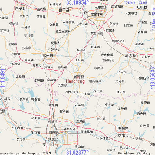
Hancheng GPS coordinates[2]
32° 31' 6.996" North, 112° 21' 7.992" East
| Map corner | latitude | longitude |
|---|---|---|
| Upper-left | 33.10954°, | 111.6491° |
| Center: | 32.51861°, | 112.35222° |
| Lower-right: | 31.92377°, | 113.05535° |
| Map W x H: | 131.8×131.8 km | = 81.9×81.9mi |
| max Lat: | 53.31946° ⇑35.9% North |
| Hancheng: | 32.51861° |
| min Lat: | ⇓64.1% South 18.22056° |
| min Long | Hancheng | max Long |
| 75.07348° | 112.35222° | 134.28917° |
| W 39.2%⇐ | ⇒60.8% E |
Elevation
Elevation of Hancheng is 94 m = 308 ft, and this is 390.8 m = 1282 ft below average elevation for this country.
| Max E: |
5622 m = 18445 ft | 60.8% |
| Avg. | 484.8 m = 1591 ft | |
| Hancheng | 94 m = 308 ft | |
Min E: |
-3 m = -10 ft | 39.2% |
See also: Hancheng elevation on elevation.city.
Geographical zone
Hancheng is located in North temperate zone (between Tropic of Cancer and the Arctic Circle). Distance of this Northern Tropic circle is 1009.8 km =627.5 mi to South.| Distance of | km | miles | from Hancheng |
|---|---|---|---|
| North Pole | 6391.3 | 3971.4 | to North |
| Arctic Circle | 3785.4 | 2352.1 | to North |
| Tropic Cancer | 1009.8 | 627.5 | to South |
| Equator | 3615.7 | 2246.7 | to South |


Nearby cities:
15 places around Hancheng: (largest is in red/bold)
• Binhe
48.4 km =30.1 mi,  67°
67°
• Chenghe
26.1 km =16.2 mi,  163°
163°
• Dongxiang
45.9 km =28.5 mi, 164°
• Guyi
30.8 km =19.1 mi,  201°
201°
• Huangji
30.9 km =19.2 mi,  221°
221°
• Huazhou
31.2 km =19.4 mi,  305°
305°
• Huopai
44.9 km =27.9 mi,  208°
208°
• Mizhuang
46.5 km =28.9 mi, 203°
• Qifang
40.2 km =25 mi,  150°
150°
• Shiqiao
40 km =24.9 mi,  242°
242°
• Shuanggou
36.7 km =22.8 mi,  175°
175°
• Taiping
45.9 km =28.5 mi,  124°
124°
• Yangdang
35.2 km =21.9 mi,  130°
130°
• Zhangji
48.9 km =30.4 mi,  248°
248°
• Zhangjiaji
46.8 km =29.1 mi,  170°
170°
Sources, notices
• [Note1] Compared only with cities in China existing in our database
• [Src1] Map data: © OpenStreetMap contributors (CC-BY-SA)
• [Src2] Other city data from geonames.org with taken over terms of usage.
• [Src3] Geographical zone / Annual Mean Temperature by Robert A. Rohde @ Wikipedia
