Xincheng geodata
Xincheng (Hubei) is a seat of a fourth-order administrative division; located in China in Asia/Shanghai (GMT+8) time zone. In our database, there are 1268 cities with bigger population. Compared to other cities in China, 58.3% of cities are located further ↓South; 50.2% of cities are located further ←West and 56% of cities have higher elevation than Xincheng. Note1


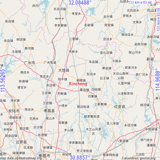
Xincheng GPS coordinates[2]
31° 29' 13.956" North, 114° 15' 56.772" East
| Map corner | latitude | longitude |
|---|---|---|
| Upper-left | 32.08488°, | 113.56265° |
| Center: | 31.48721°, | 114.26577° |
| Lower-right: | 30.8857°, | 114.9689° |
| Map W x H: | 133.3×133.3 km | = 82.8×82.8mi |
| max Lat: | 53.31946° ⇑41.7% North |
| Xincheng: | 31.48721° |
| min Lat: | ⇓58.3% South 18.22056° |
| min Long | Xincheng | max Long |
| 75.07348° | 114.26577° | 134.28917° |
| W 50.2%⇐ | ⇒49.8% E |
Elevation
Elevation of Xincheng is 124 m = 407 ft, and this is 360.8 m = 1184 ft below average elevation for this country.
| Max E: |
5622 m = 18445 ft | 56% |
| Avg. | 484.8 m = 1591 ft | |
| Xincheng | 124 m = 407 ft | |
Min E: |
-3 m = -10 ft | 44% |
See also: China elevation on elevation.city.
Geographical zone
Xincheng is located in North temperate zone (between Tropic of Cancer and the Arctic Circle). Distance of this Northern Tropic circle is 895.1 km =556.2 mi to South.| Distance of | km | miles | from Xincheng |
|---|---|---|---|
| North Pole | 6506 | 4042.6 | to North |
| Arctic Circle | 3900.1 | 2423.4 | to North |
| Tropic Cancer | 895.1 | 556.2 | to South |
| Equator | 3501 | 2175.4 | to South |


Nearby cities:
15 places around Xincheng: (largest is in red/bold)
• Caidian
21.7 km =13.5 mi,  173°
173°
• Dawu Chengguanzhen
19.5 km =12.1 mi,  314°
314°
• Dongxin
24.6 km =15.3 mi,  347°
347°
• Fangfan
18.8 km =11.7 mi,  234°
234°
• Fengdian
18.7 km =11.6 mi,  35°
35°
• Gaodian
11.9 km =7.4 mi,  342°
342°
• Hekou
24.6 km =15.3 mi,  140°
140°
• Huangzhan
24.3 km =15.1 mi,  65°
65°
• Liuji
16.5 km =10.3 mi, 143°
• Luwang
20 km =12.4 mi,  84°
84°
• Pengdian
10.6 km =6.6 mi,  60°
60°
• Sigu
15.1 km =9.4 mi,  120°
120°
• Xiadian
8.3 km =5.2 mi,  161°
161°
• Yangping
14.7 km =9.1 mi,  274°
274°
• Yangzhai
23.7 km =14.7 mi, 271°
Sources, notices
• [Note1] Compared only with cities in China existing in our database
• [Src1] Map data: © OpenStreetMap contributors (CC-BY-SA)
• [Src2] Other city data from geonames.org with taken over terms of usage.
• [Src3] Geographical zone / Annual Mean Temperature by Robert A. Rohde @ Wikipedia
