Fengdian geodata
Fengdian (Hubei) is a seat of a fourth-order administrative division; located in China in Asia/Shanghai (GMT+8) time zone. In our database, there are 1268 cities with bigger population. Compared to other cities in China, 59.1% of cities are located further ↓South; 50.9% of cities are located further ←West and 56.3% of cities have higher elevation than Fengdian. Note1


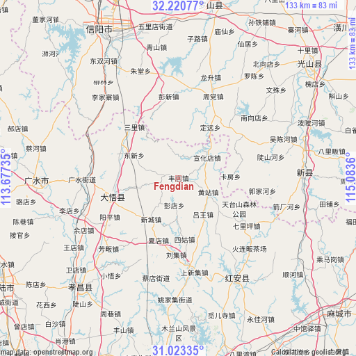
Fengdian GPS coordinates[2]
31° 37' 26.364" North, 114° 22' 49.692" East
| Map corner | latitude | longitude |
|---|---|---|
| Upper-left | 32.22077°, | 113.67735° |
| Center: | 31.62399°, | 114.38047° |
| Lower-right: | 31.02335°, | 115.0836° |
| Map W x H: | 133.1×133.1 km | = 82.7×82.7mi |
| max Lat: | 53.31946° ⇑40.9% North |
| Fengdian: | 31.62399° |
| min Lat: | ⇓59.1% South 18.22056° |
| min Long | Fengdian | max Long |
| 75.07348° | 114.38047° | 134.28917° |
| W 50.9%⇐ | ⇒49.1% E |
Elevation
Elevation of Fengdian is 122 m = 400 ft, and this is 362.8 m = 1190 ft below average elevation for this country.
| Max E: |
5622 m = 18445 ft | 56.3% |
| Avg. | 484.8 m = 1591 ft | |
| Fengdian | 122 m = 400 ft | |
Min E: |
-3 m = -10 ft | 43.7% |
See also: China elevation on elevation.city.
Geographical zone
Fengdian is located in North temperate zone (between Tropic of Cancer and the Arctic Circle). Distance of this Northern Tropic circle is 910.3 km =565.6 mi to South.| Distance of | km | miles | from Fengdian |
|---|---|---|---|
| North Pole | 6490.8 | 4033.2 | to North |
| Arctic Circle | 3884.9 | 2414 | to North |
| Tropic Cancer | 910.3 | 565.6 | to South |
| Equator | 3516.3 | 2184.9 | to South |


Nearby cities:
15 places around Fengdian: (largest is in red/bold)
• Dawu Chengguanzhen
24.9 km =15.5 mi,  266°
266°
• Daxin
24 km =14.9 mi,  296°
296°
• Dongxin
18.5 km =11.5 mi, 298°
• Gaodian
14.9 km =9.3 mi,  254°
254°
• Huajiahe
22.9 km =14.2 mi,  141°
141°
• Huangzhan
12.2 km =7.6 mi,  114°
114°
• Liuji
28.4 km =17.6 mi,  181°
181°
• Luwang
15.9 km =9.9 mi,  145°
145°
• Pengdian
10.1 km =6.3 mi,  189°
189°
• Sanlicheng
25.8 km =16 mi,  319°
319°
• Sigu
23 km =14.3 mi,  174°
174°
• Xiadian
24.5 km =15.2 mi,  199°
199°
• Xincheng
18.7 km =11.6 mi,  215°
215°
• Xuanhuadian
13.2 km =8.2 mi,  52°
52°
• Yangping
29.1 km =18.1 mi,  241°
241°
Sources, notices
• [Note1] Compared only with cities in China existing in our database
• [Src1] Map data: © OpenStreetMap contributors (CC-BY-SA)
• [Src2] Other city data from geonames.org with taken over terms of usage.
• [Src3] Geographical zone / Annual Mean Temperature by Robert A. Rohde @ Wikipedia
