Xiaoshidian geodata
Xiaoshidian (Henan) is a seat of a fourth-order administrative division; located in China in Asia/Shanghai (GMT+8) time zone. In our database, there are 1268 cities with bigger population. Compared to other cities in China, 66.9% of cities are located further ↓South; 55.5% of cities are located further →East and 54.8% of cities have higher elevation than Xiaoshidian. Note1


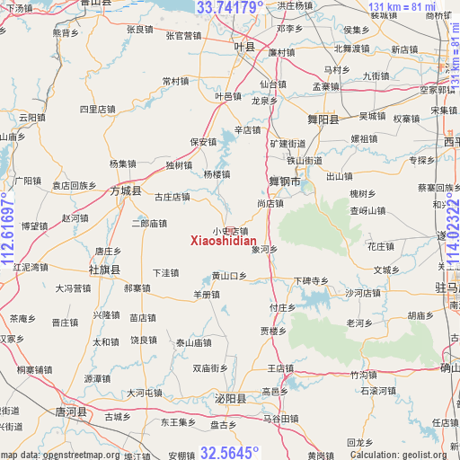
Xiaoshidian GPS coordinates[2]
33° 9' 18.432" North, 113° 19' 12.324" East
| Map corner | latitude | longitude |
|---|---|---|
| Upper-left | 33.74179°, | 112.61697° |
| Center: | 33.15512°, | 113.32009° |
| Lower-right: | 32.5645°, | 114.02322° |
| Map W x H: | 130.9×130.9 km | = 81.3×81.3mi |
| max Lat: | 53.31946° ⇑33.1% North |
| Xiaoshidian: | 33.15512° |
| min Lat: | ⇓66.9% South 18.22056° |
| min Long | Xiaoshidian | max Long |
| 75.07348° | 113.32009° | 134.28917° |
| W 44.5%⇐ | ⇒55.5% E |
Elevation
Elevation of Xiaoshidian is 133 m = 436 ft, and this is 351.8 m = 1154 ft below average elevation for this country.
| Max E: |
5622 m = 18445 ft | 54.8% |
| Avg. | 484.8 m = 1591 ft | |
| Xiaoshidian | 133 m = 436 ft | |
Min E: |
-3 m = -10 ft | 45.2% |
See also: China elevation on elevation.city.
Geographical zone
Xiaoshidian is located in North temperate zone (between Tropic of Cancer and the Arctic Circle). Distance of this Northern Tropic circle is 1080.6 km =671.5 mi to South.| Distance of | km | miles | from Xiaoshidian |
|---|---|---|---|
| North Pole | 6320.6 | 3927.4 | to North |
| Arctic Circle | 3714.7 | 2308.2 | to North |
| Tropic Cancer | 1080.6 | 671.5 | to South |
| Equator | 3686.5 | 2290.7 | to South |


Nearby cities:
15 places around Xiaoshidian: (largest is in red/bold)
• Bao’an
26.6 km =16.5 mi,  342°
342°
• Chunshui
18.7 km =11.6 mi,  136°
136°
• Dushu
24.1 km =15 mi,  321°
321°
• Fuzhuang
26.4 km =16.4 mi,  145°
145°
• Huangshankou
12.7 km =7.9 mi,  181°
181°
• Miaojie
26.2 km =16.3 mi,  30°
30°
• Shangdian
14.4 km =8.9 mi,  55°
55°
• Sipo
23.1 km =14.4 mi,  52°
52°
• Xianghe
11 km =6.8 mi,  117°
117°
• Yakou
24.6 km =15.3 mi, 50°
• Yangce
19.3 km =12 mi,  200°
200°
• Yangzhuang
19.6 km =12.2 mi, 49°
• Yinji
26 km =16.2 mi,  65°
65°
• Yuanling
19.2 km =11.9 mi,  42°
42°
• Zhulan
26.7 km =16.6 mi, 46°
Sources, notices
• [Note1] Compared only with cities in China existing in our database
• [Src1] Map data: © OpenStreetMap contributors (CC-BY-SA)
• [Src2] Other city data from geonames.org with taken over terms of usage.
• [Src3] Geographical zone / Annual Mean Temperature by Robert A. Rohde @ Wikipedia
