Shiqiao geodata
Shiqiao (Shaanxi) is a seat of a fourth-order administrative division; located in China in Asia/Shanghai (GMT+8) time zone. In our database, there are 1268 cities with bigger population. Compared to other cities in China, 74.1% of cities are located further ↓South; 77.9% of cities are located further →East and 81.3% of cities have lower elevation than Shiqiao. Note1


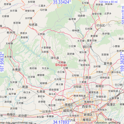
Shiqiao GPS coordinates[2]
34° 45' 30.996" North, 108° 39' 33.984" East
| Map corner | latitude | longitude |
|---|---|---|
| Upper-left | 35.33424°, | 107.95632° |
| Center: | 34.75861°, | 108.65944° |
| Lower-right: | 34.17893°, | 109.36257° |
| Map W x H: | 128.5×128.5 km | = 79.8×79.8mi |
| max Lat: | 53.31946° ⇑25.9% North |
| Shiqiao: | 34.75861° |
| min Lat: | ⇓74.1% South 18.22056° |
| min Long | Shiqiao | max Long |
| 75.07348° | 108.65944° | 134.28917° |
| W 22.1%⇐ | ⇒77.9% E |
Elevation
Elevation of Shiqiao is 757 m = 2484 ft, and this is 272.2 m = 893 ft above average elevation for this country.
| Max E: |
5622 m = 18445 ft | 18.7% |
| Shiqiao | 757 m 2484 ft | |
| Avg. | 484.8 m = 1591 ft | |
Min E: |
-3 m = -10 ft | 81.3% |
See also: China elevation on elevation.city.
Geographical zone
Shiqiao is located in North temperate zone (between Tropic of Cancer and the Arctic Circle). Distance of this Northern Tropic circle is 1258.9 km =782.2 mi to South.| Distance of | km | miles | from Shiqiao |
|---|---|---|---|
| North Pole | 6142.3 | 3816.6 | to North |
| Arctic Circle | 3536.4 | 2197.4 | to North |
| Tropic Cancer | 1258.9 | 782.2 | to South |
| Equator | 3864.8 | 2401.5 | to South |


Nearby cities:
15 places around Shiqiao: (largest is in red/bold)
• Baiwang
9.5 km =5.9 mi,  185°
185°
• Chunhua
8.9 km =5.5 mi,  300°
300°
• Dadian
4.9 km =3 mi,  291°
291°
• Dongwu
12.8 km =8 mi, 290°
• Fangli
10.1 km =6.3 mi,  44°
44°
• Guxian
12.6 km =7.8 mi,  45°
45°
• Kouzhen
6.5 km =4 mi,  147°
147°
• Qiaodi
17.7 km =11 mi,  162°
162°
• Qinhe
19 km =11.8 mi,  341°
341°
• Runzhen
18.6 km =11.6 mi,  311°
311°
• Tiewang
19.3 km =12 mi, 335°
• Wangqiao
15.9 km =9.9 mi, 185°
• Xiaoqiu
19.6 km =12.2 mi,  31°
31°
• Xinglong
12.7 km =7.9 mi,  166°
166°
• Yunyang
19.2 km =11.9 mi,  134°
134°
Sources, notices
• [Note1] Compared only with cities in China existing in our database
• [Src1] Map data: © OpenStreetMap contributors (CC-BY-SA)
• [Src2] Other city data from geonames.org with taken over terms of usage.
• [Src3] Geographical zone / Annual Mean Temperature by Robert A. Rohde @ Wikipedia
