Shadaogou geodata
Shadaogou (Hubei) is a seat of a fourth-order administrative division; located in China in Asia/Shanghai (GMT+8) time zone. In our database, there are 1268 cities with bigger population. Compared to other cities in China, 57.5% of cities are located further ↑North; 73.6% of cities are located further →East and 77.3% of cities have lower elevation than Shadaogou. Note1


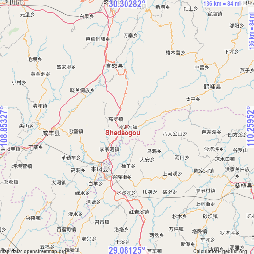
Shadaogou GPS coordinates[2]
29° 41' 38.004" North, 109° 33' 23.004" East
| Map corner | latitude | longitude |
|---|---|---|
| Upper-left | 30.30282°, | 108.85327° |
| Center: | 29.69389°, | 109.55639° |
| Lower-right: | 29.08125°, | 110.25952° |
| Map W x H: | 135.8×135.8 km | = 84.4×84.4mi |
| max Lat: | 53.31946° ⇑57.5% North |
| Shadaogou: | 29.69389° |
| min Lat: | ⇓42.5% South 18.22056° |
| min Long | Shadaogou | max Long |
| 75.07348° | 109.55639° | 134.28917° |
| W 26.4%⇐ | ⇒73.6% E |
Elevation
Elevation of Shadaogou is 586 m = 1923 ft, and this is 101.2 m = 332 ft above average elevation for this country.
| Max E: |
5622 m = 18445 ft | 22.7% |
| Shadaogou | 586 m 1923 ft | |
| Avg. | 484.8 m = 1591 ft | |
Min E: |
-3 m = -10 ft | 77.3% |
See also: China elevation on elevation.city.
Geographical zone
Shadaogou is located in North temperate zone (between Tropic of Cancer and the Arctic Circle). Distance of this Northern Tropic circle is 695.7 km =432.3 mi to South.| Distance of | km | miles | from Shadaogou |
|---|---|---|---|
| North Pole | 6705.4 | 4166.5 | to North |
| Arctic Circle | 4099.5 | 2547.3 | to North |
| Tropic Cancer | 695.7 | 432.3 | to South |
| Equator | 3301.7 | 2051.6 | to South |


Nearby cities:
15 places around Shadaogou: (largest is in red/bold)
• Da’anping
20.8 km =12.9 mi,  147°
147°
• Gaoluo
7.6 km =4.7 mi,  304°
304°
• Hujiagou
26.2 km =16.3 mi,  239°
239°
• Lijiahe
15.1 km =9.4 mi,  219°
219°
• Mingxing
27.6 km =17.1 mi,  266°
266°
• Min’an
28.5 km =17.7 mi,  203°
203°
• Shadiping
25.8 km =16 mi,  97°
97°
• Shigaoshan
21.9 km =13.6 mi, 203°
• Shipaidong
13.8 km =8.6 mi,  167°
167°
• Tongche
20.9 km =13 mi,  177°
177°
• Wuyahe
19.9 km =12.4 mi,  130°
130°
• Xiangfeng
25.5 km =15.8 mi, 215°
• Xiaoguan
30.5 km =19 mi,  311°
311°
• Xincheng
27.5 km =17.1 mi, 200°
• Xinglongjie
26.7 km =16.6 mi,  185°
185°
Sources, notices
• [Note1] Compared only with cities in China existing in our database
• [Src1] Map data: © OpenStreetMap contributors (CC-BY-SA)
• [Src2] Other city data from geonames.org with taken over terms of usage.
• [Src3] Geographical zone / Annual Mean Temperature by Robert A. Rohde @ Wikipedia
